
We have two townlands this week: Ballyskeagh High and Ballyskeagh Low. They are both in the Craigantlet Hills, and after visiting them, I would say that the split into ‘high’ and ‘low’ townlands reflects their altitude. The highest point, the summit of Cairngaver, is in Ballyskeagh High.
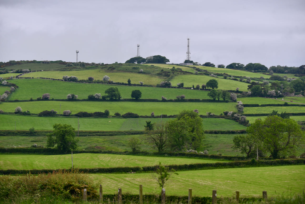
The Northern Ireland Place-name Project looked at historical records for Ballyskeagh and concluded that a single townland was split into High and Low before 1605. The Project also considered the origin of the name Ballyskeagh and found the likely derivation to be the Irish Baile na Sceach meaning ‘townland of the thorn bushes’. I timed my visit well, to see blossom on the thorns.
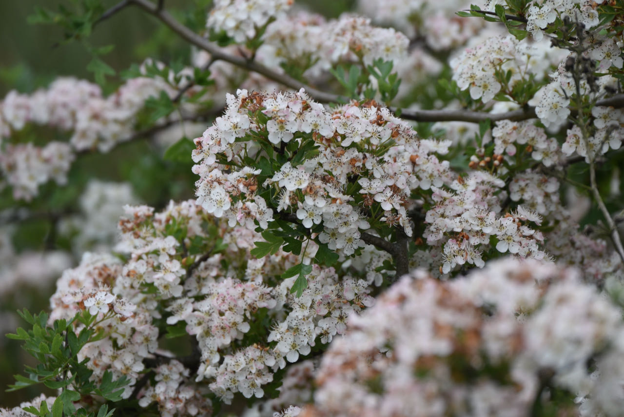
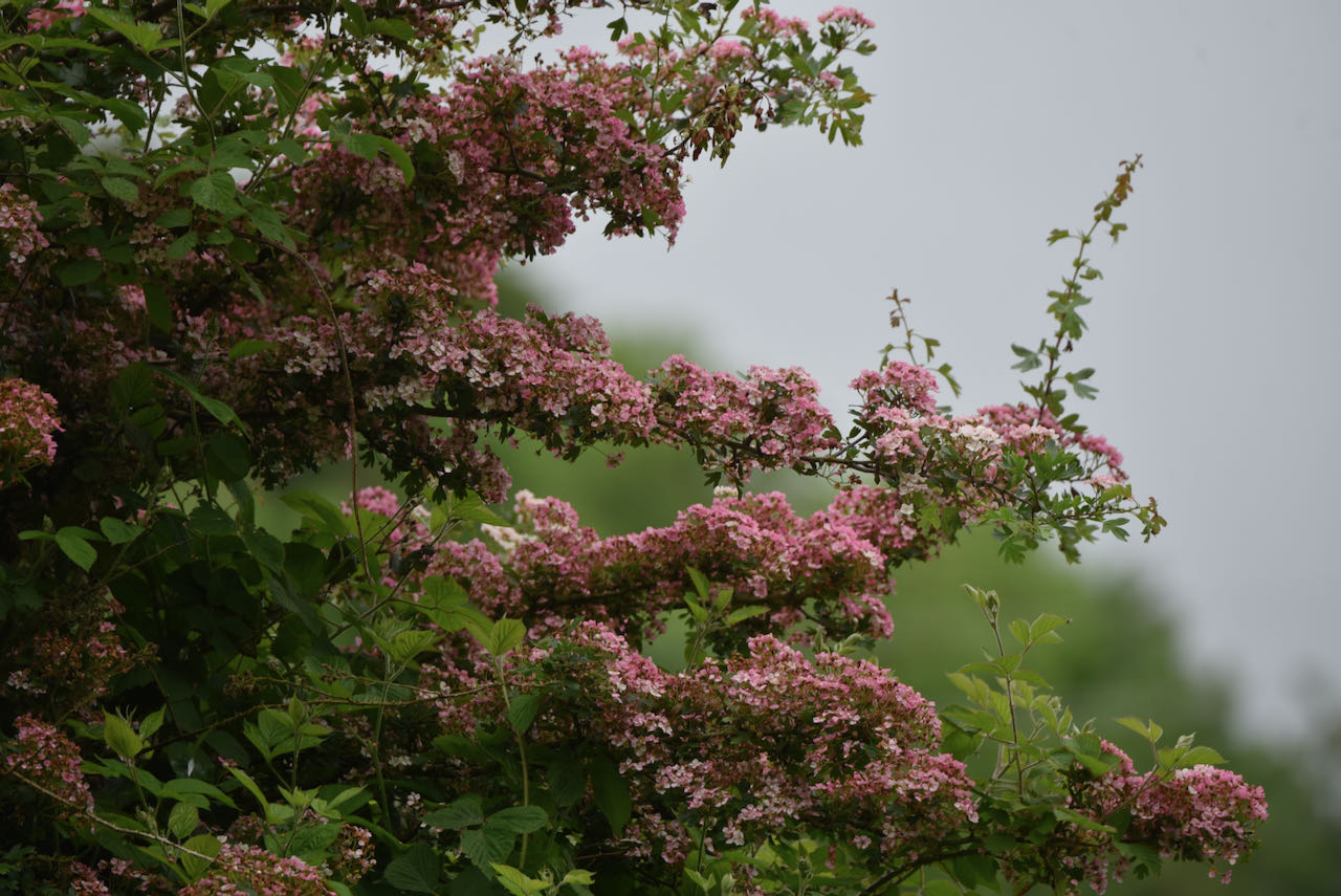
I found more hawthorn blossom in Ballyskeagh Low.
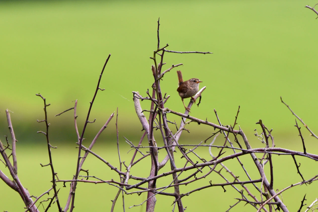
Nearly every hedge was covered in blossom, but this wee wren found a bare branch to perch on.
The name Ballyskeagh does not appear on any road names, so I had to go looking in graveyards. This stone for the Menagh family of Ballyskeaugh with a ‘u’ is in Bangor churchyard.

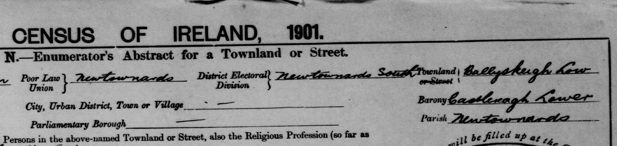
The census enumerators of 1901 and 1911 used yet another spelling: Ballyskeigh with an ‘i’. But if you are searching for your ancestors on the census website, you can still use the modern spelling of Ballyskeagh with an ‘a’.
Ballyskeagh was quiet when I visited this year, but I do have memories of watching stock car racing there when I was a child in the 1970s. This year, there was only a rabbit.

MORE INFORMATION
Which county are Ballyskeagh High and Ballyskeagh Low in? County Down
Which civil parish are Ballyskeagh High and Ballyskeagh Low in? Newtownards
Which townlands border Ballyskeagh High? To the north, Ballysallagh Minor. To the east, Ballyskeagh Low, Tullynagardy and Ballyleidy. To the south, Ballybarnes. To the west, Craigogantlet, Killarn and Ballysallagh Major.
Click here to see a map of Ballyskeagh High on Townlands.IE.
And finally, click here to read about the townland name on PLACENAMESNI.ORG.
Which townlands border Ballyskeagh Low? To the north, Ballyleidy. To the east, Ballyvarnet and Whitespots. To the south, Tullynagardy. To the west, Ballyskeagh High.
Click here to see a map of Ballyskeagh Low on Townlands.IE.
And finally, click here to read about the townland name on PLACENAMESNI.ORG.

Simply stunning i would love to have the opportunity to metal detect in those fields some history there I’m sure.
LikeLiked by 2 people
[…] to go straight to my page about that townland. Or skip straight to this month’s new posts: Ballyskeagh (High and Low). […]
LikeLiked by 1 person
[…] townlands border Ballybarnes? To the north, Ballyskeagh High. To the east, Tullynagardy and Milecross. To the south, Ballyrogan. To the west, […]
LikeLike
[…] is Carrowreagh. Heading uphill, you reach Craigogantlet. Cross the Holywood Road and you enter Ballyskeagh High and Ballybarnes. Cross the Belfast Road and you find Greengraves and […]
LikeLike
Hi the stock car track was opened by my dad ,Drew Cooke on his mother’s land it was a crazy place back in the day ! I now am the custodian and I have a ceramic practice in the old workshop #kookietiki I am trying to research who lived on the land before the Cooke’s came there from Tyrone in the late 50s
LikeLiked by 1 person
Karolyn, surely that’s a hare, not a rabbit!
I’ll be spending the good part of a day some time soon rambling round that area – for the first time!
Jim
LikeLiked by 1 person