
This week’s townland is Ballybarnes, near Newtownards.

Ballybarnes is on hilly ground on the southeastern side of Craigantlet, giving a good view over the town of Newtownards towards Strangford Lough.

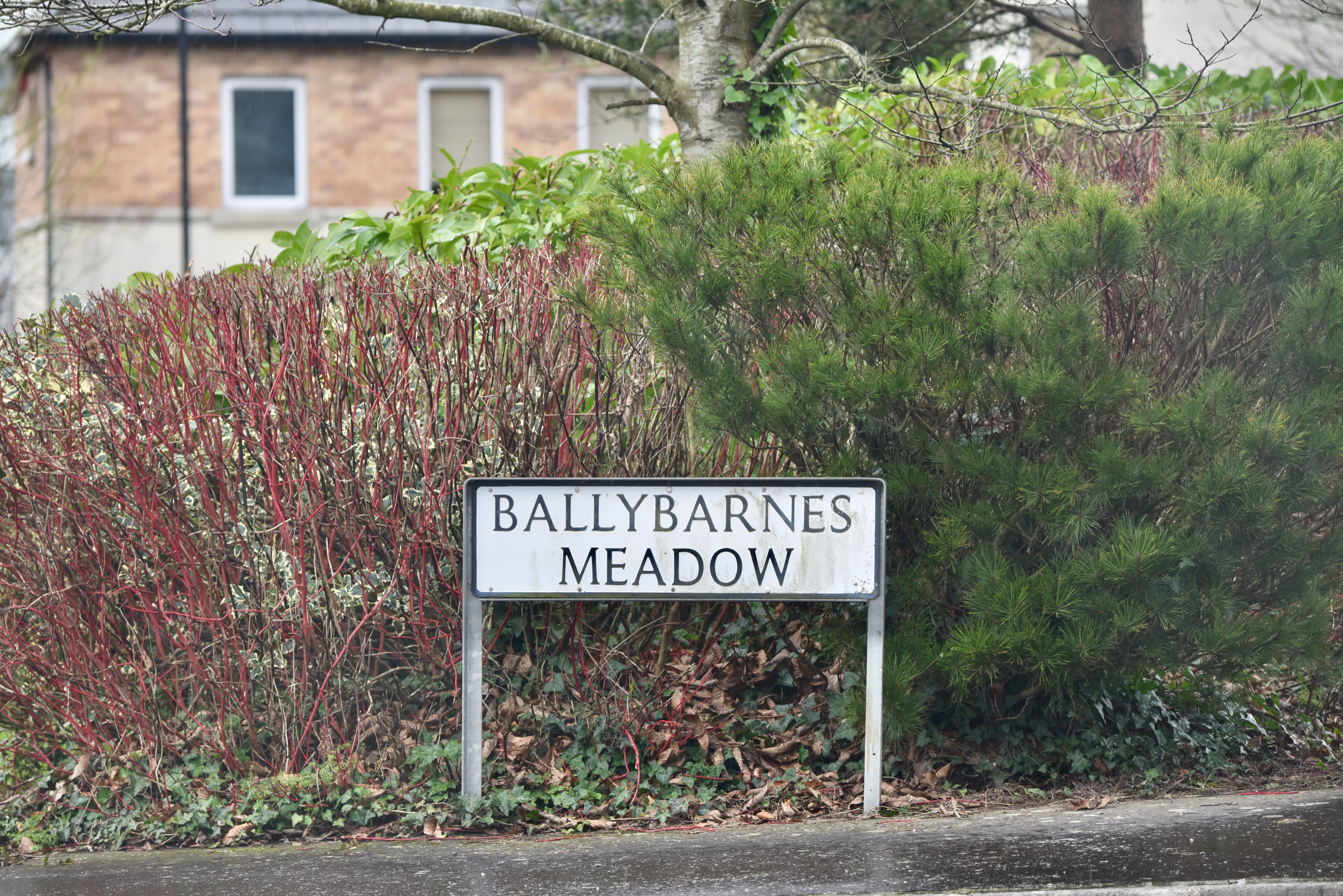
Most of the homes in Ballybarnes are in vastly better repair than the one in the photo above. For example, there is a small housing development near Bradshaw’s Brae called Ballybarnes Meadow. The southern boundary of the townland follows a stream behind these houses.
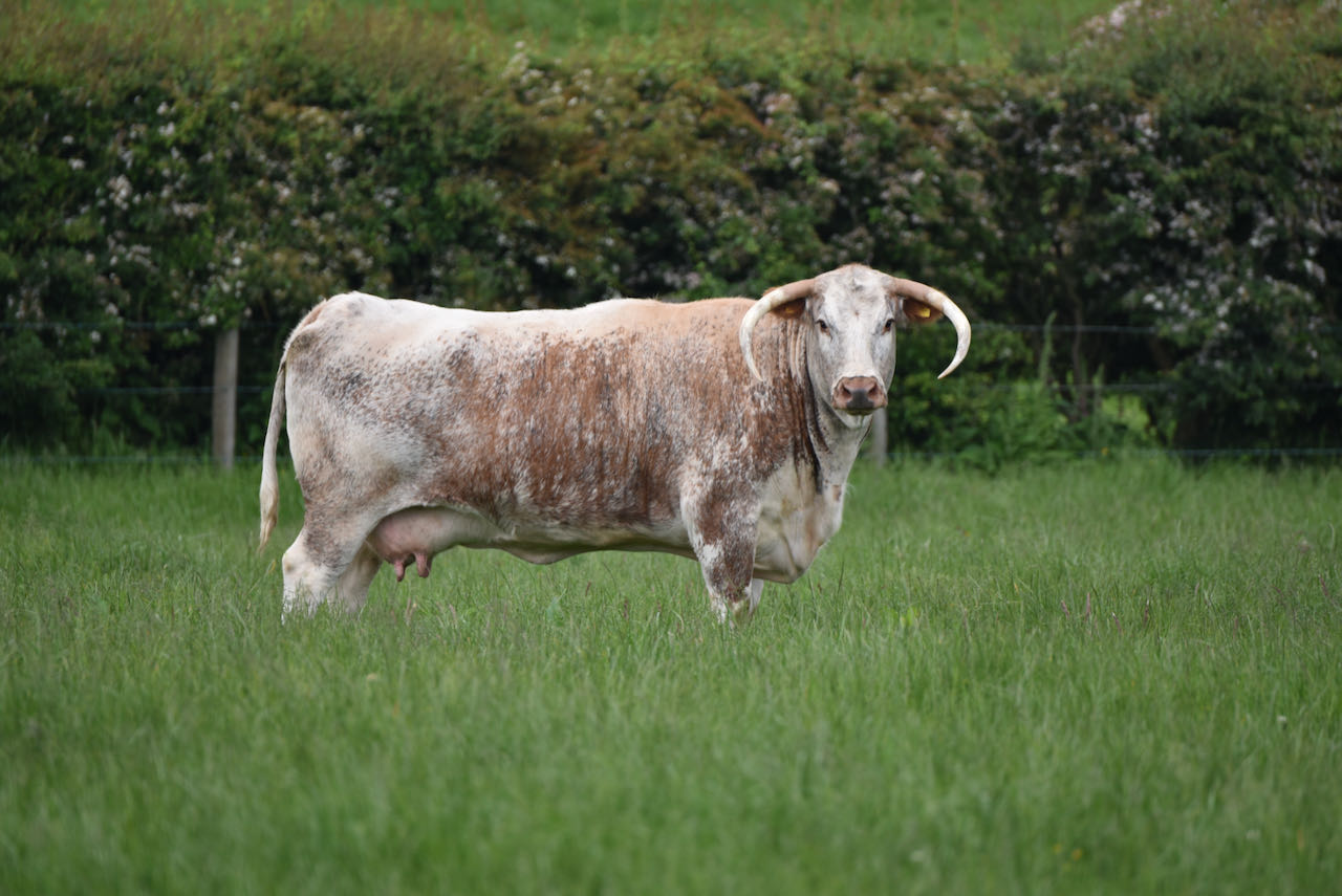
Moving up the hill towards Craigantlet, I met this longhorn cow.
According to the website of the Northern Ireland Place-Name Project, the name Ballybarnes comes from the Irish Baile na Bearnaise meaning ‘townland of the gap’. The Craigantlet hills aren’t that high, but I can see how people might describe this townland as a gap in the hills allowing paths, and now a road, to run through from Strangford Lough towards Ballysallagh and Belfast Lough.
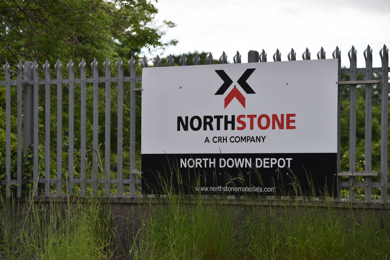
Of course there’s another gap in the ground of this townland now: the NorthStone Quarry.
In the British Newspaper Archive I found press announcements of Invitations to Tender for road maintenance contracts in 1892, specifying the use of “2-inch Ballybarnes broken stones, and 3-inch Ballybarnes broken stones”. So people have been digging out this gap for at least 130 years to fill in smaller gaps on the roads between Dundonald and Newtownards.

MORE INFORMATION
Click here for the Ballybarnes page on a local history website.
Which county is Ballybarnes in? County Down
Which civil parish is Ballybarnes in? Newtownards.
Which townlands border Ballybarnes? To the north, Ballyskeagh High. To the east, Tullynagardy and Milecross. To the south, Ballyrogan. To the west, Killarn.
And finally, click here to see a map of Ballybarnes and to read about the townland’s name on my usual source – PLACENAMESNI.ORG.

[…] to go straight to my page about that townland. Or skip straight to this month’s new posts: Ballybarnes, […]
LikeLike
[…] north, Ballysallagh Minor. To the east, Ballyskeagh Low, Tullynagardy and Ballyleidy. To the south, Ballybarnes. To the west, Craigogantlet, Killarn and Ballysallagh […]
LikeLike
[…] townlands border Ballyrogan? To the north, on the other side of the Belfast Road, Killarn and Ballybarnes. To the east, Milecross and Ballycullen. To the south and west, straddling the A20 Kempe Stones […]
LikeLike
[…] Heading uphill, you reach Craigogantlet. Cross the Holywood Road and you enter Ballyskeagh High and Ballybarnes. Cross the Belfast Road and you find Greengraves and […]
LikeLike