
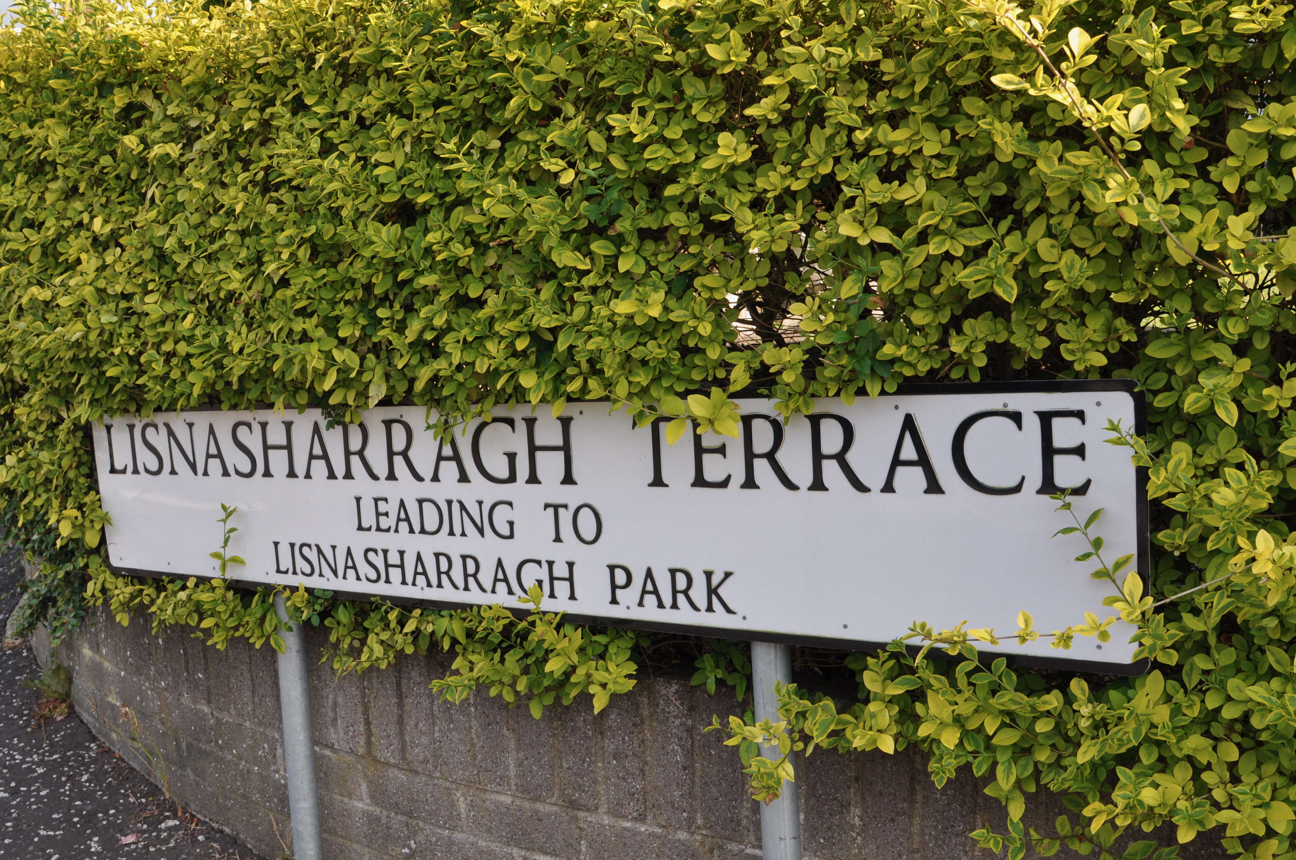
Today’s townland is Lisnasharragh, near the Castlereagh Road in East Belfast.
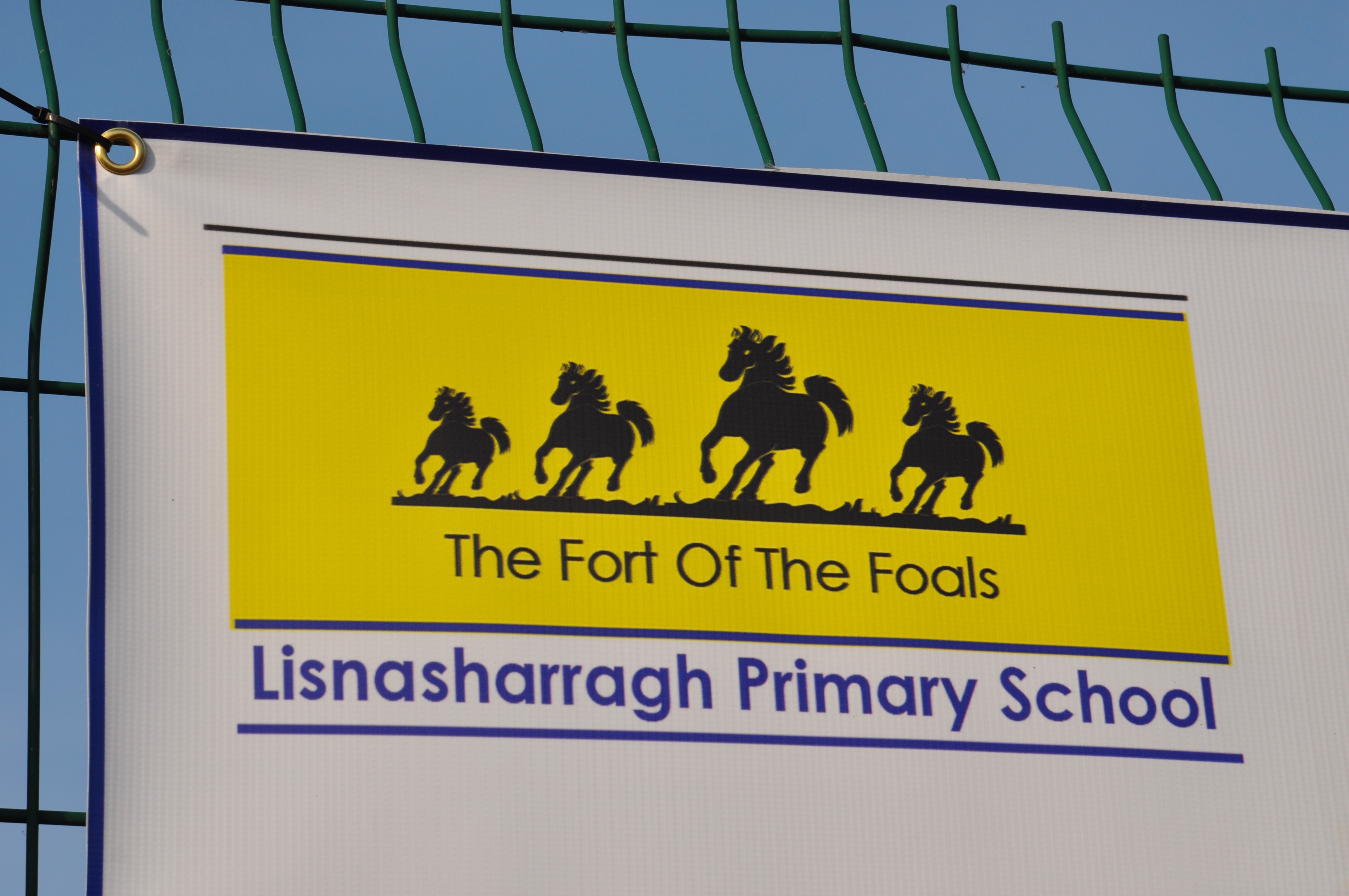
According to the website of the Northern Ireland Place-Names Project, the name comes from the Irish Lios na Searrach meaning ‘fort of the foals’. The local primary school is making sure that everyone is educated about that.
Most of this townland lies inside the Belfast Outer Ring Road, but people living on the other side of the dual carriageway can be confident that they still belong in the townland. They have Lisnasharragh in their addresses.
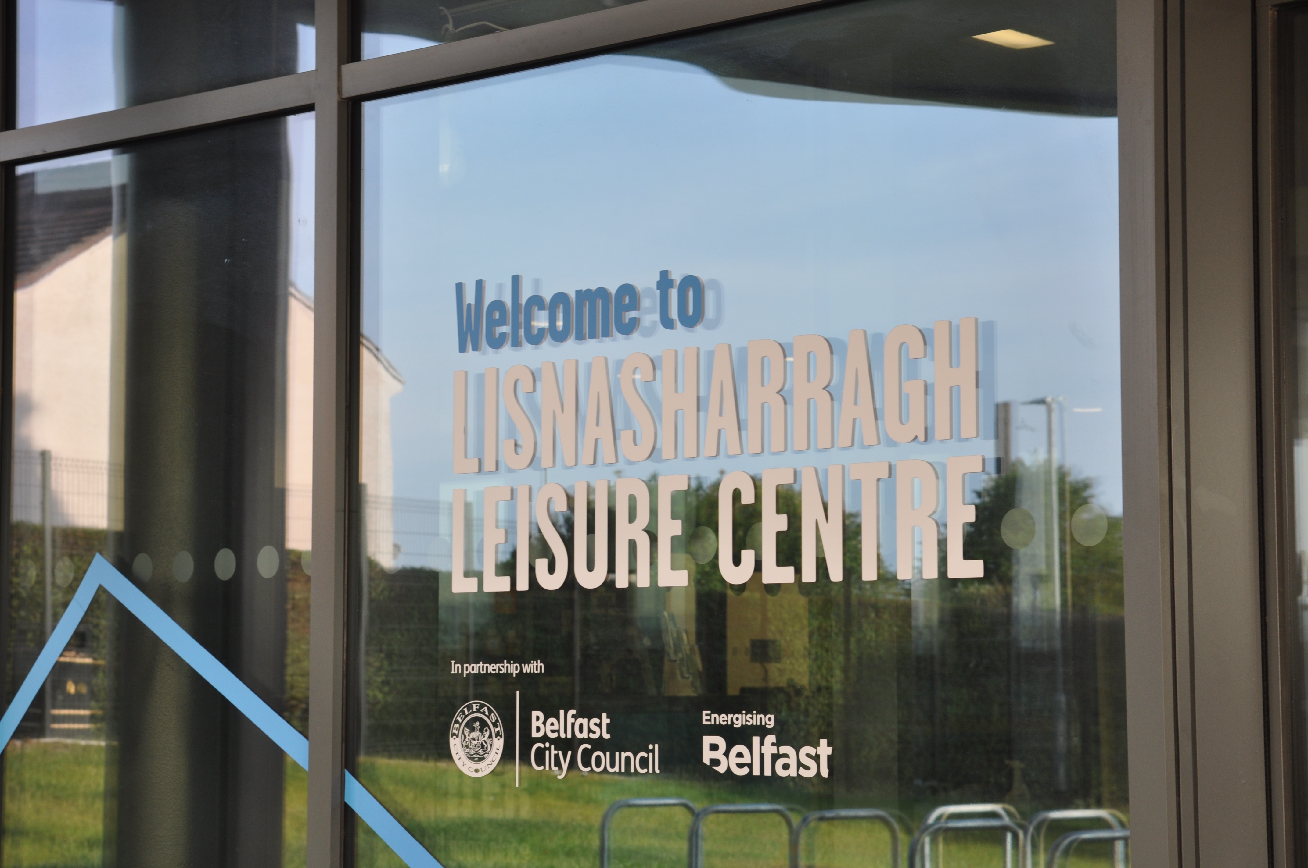
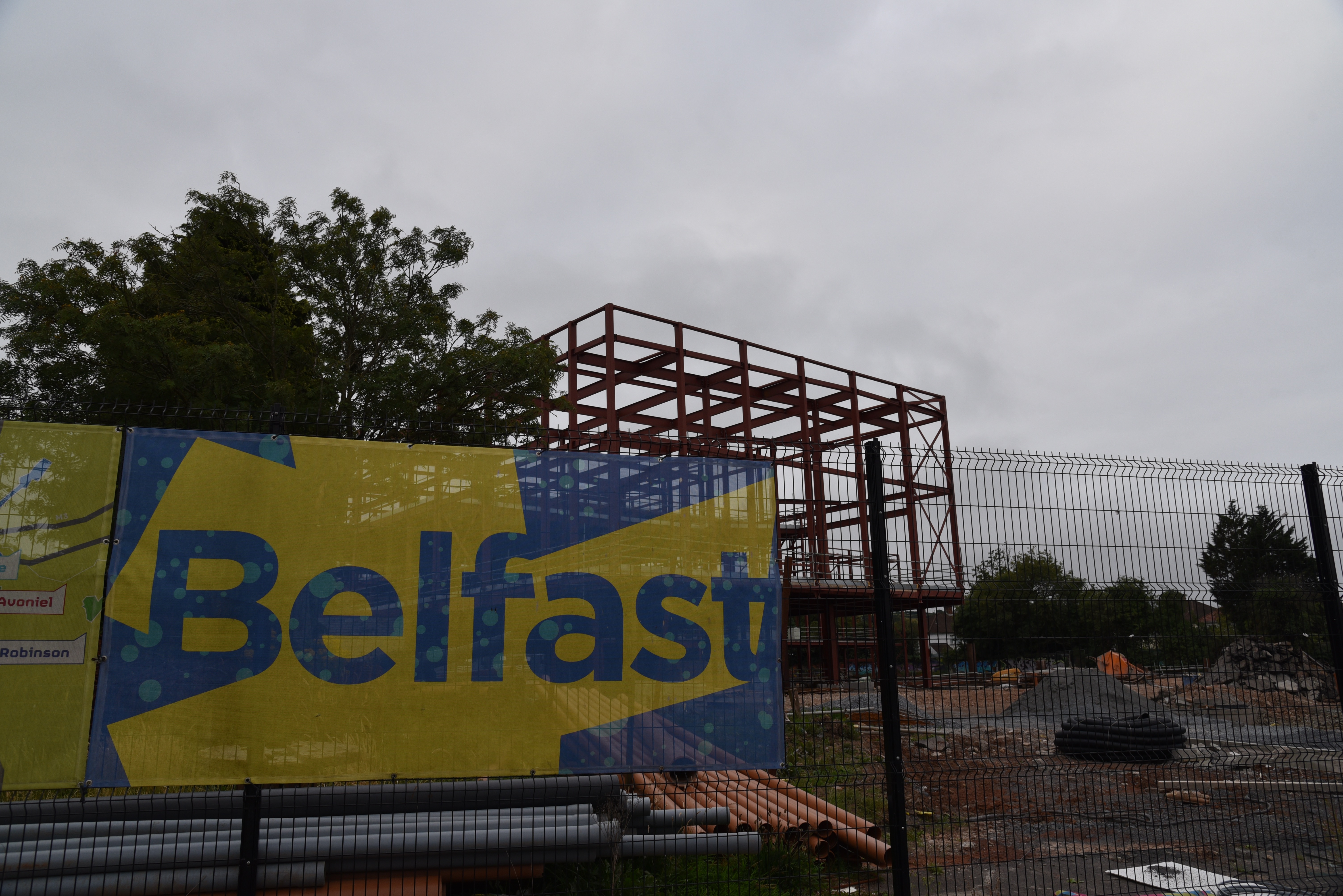
I first photographed Lisnasharragh townland a few years ago, when construction had just started on a new leisure centre on Montgomery Road.
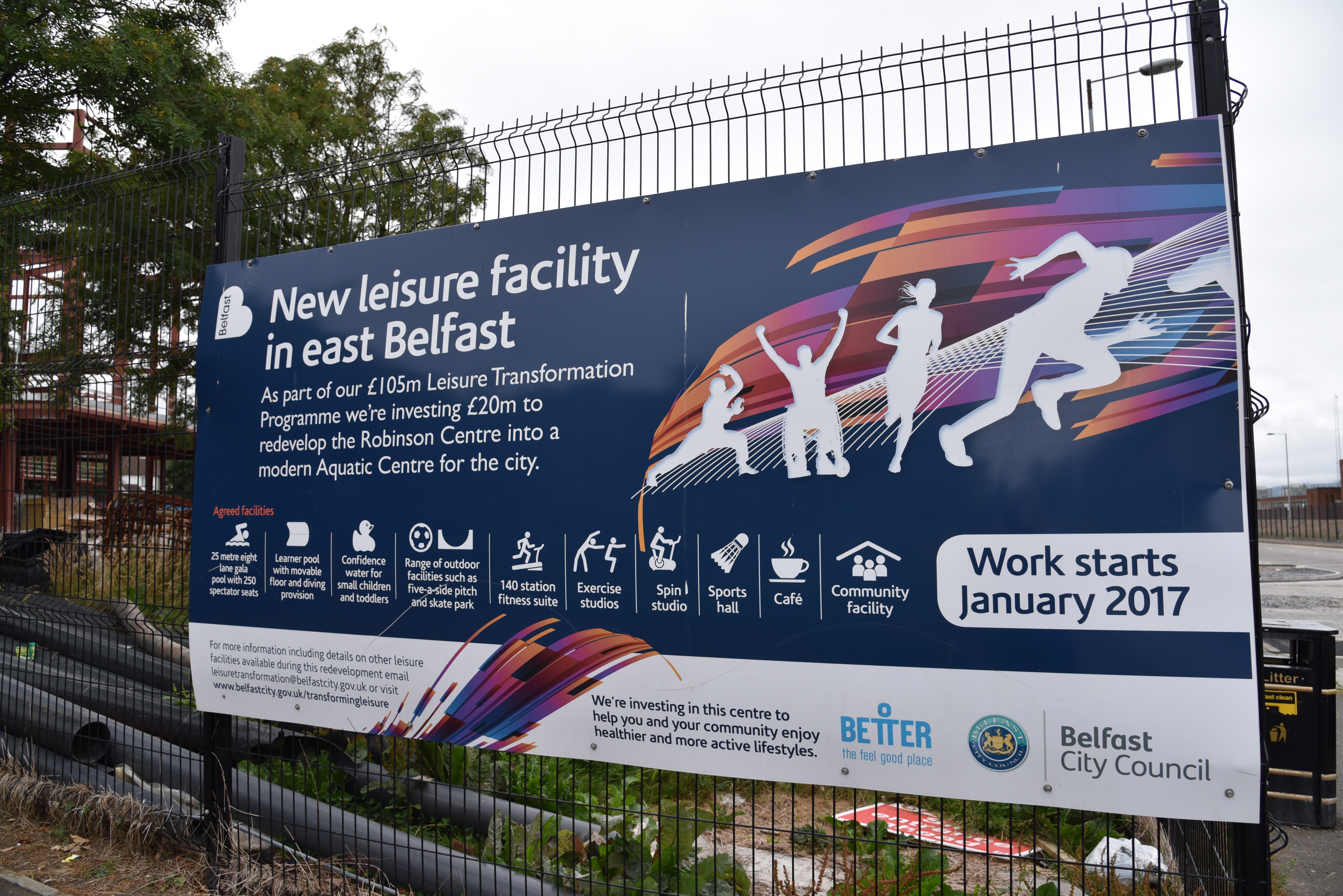
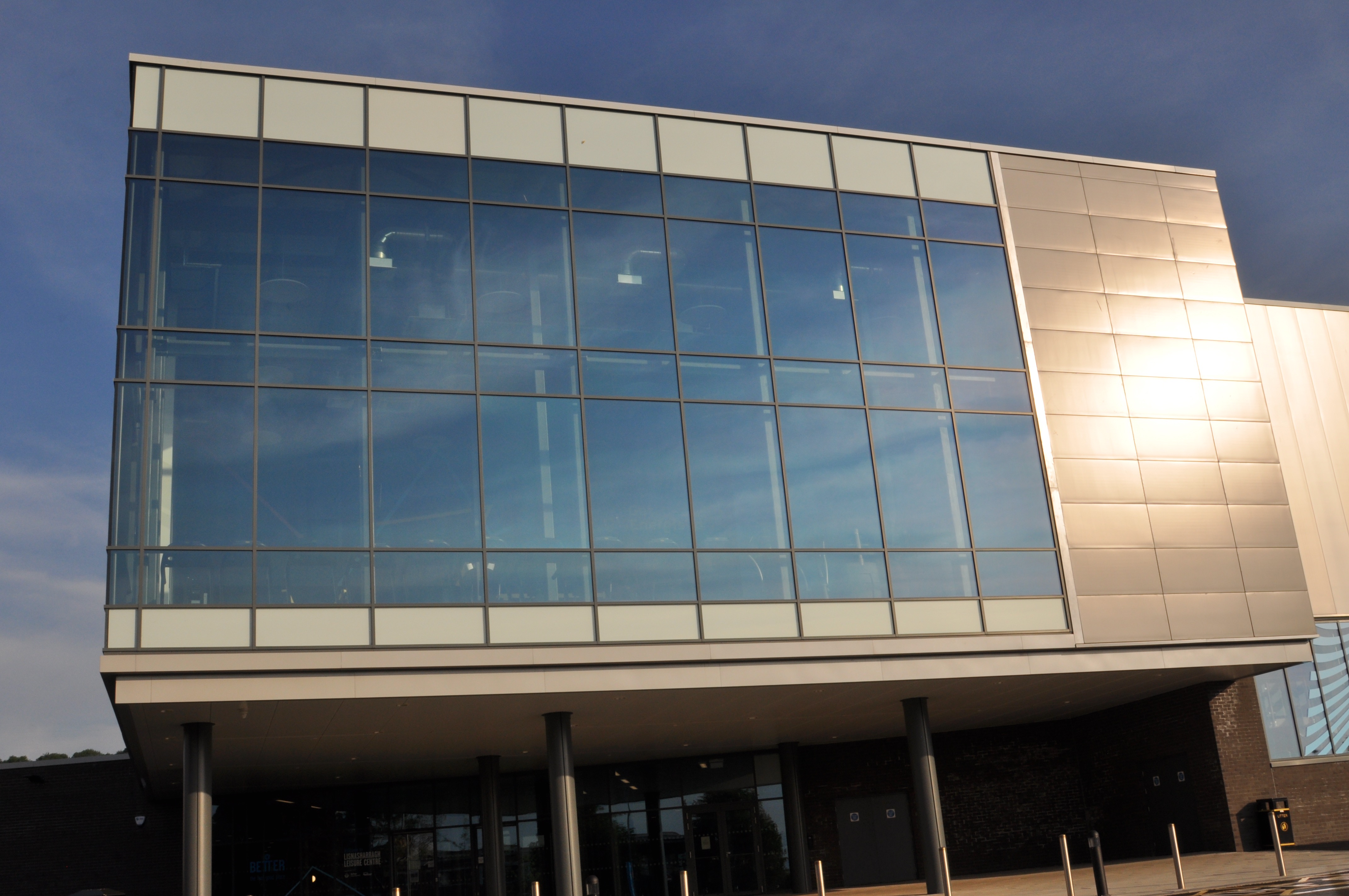
 I’m sure the city council thought we would all be exercising, as fit as foals, by now. But the shiny new Lisnasharragh Leisure Centre is closed like everything else because of Covid-19.
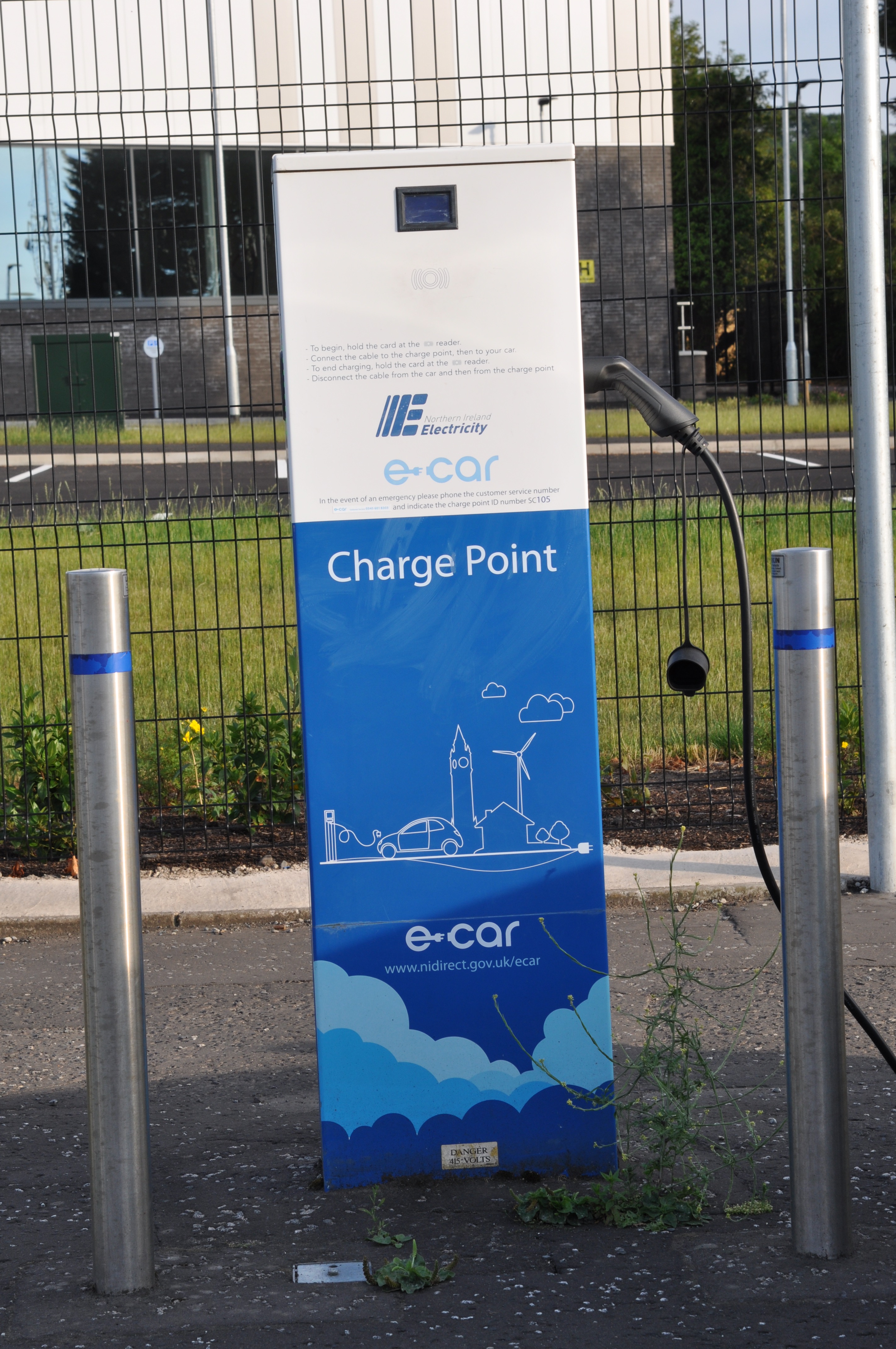
While we wait for the swimming pool to re-open, I will finish with two hopeful things from the empty car park. First, I found a charging point for electric cars.
And finally, our sunny spring has helped the newly-planted flowers.

Which county is Lisnasharragh in? County Down
Which civil parish is Lisnasharragh in? Knockbreda
Which townlands border Lisnasharragh? To the north, Multyhogy. To the east, Carnamuck and Castlereagh. To the west, Ballymaconaghy and Cregagh.
Click here for a map of Lisnasharragh on Townlands.IE.
And finally, click here to read about the townland’s name on my usual source – PLACENAMESNI.ORG.

[…] townlands border Carnamuck? To the east, Knock and Braniel. To the west, Multyhogy and Lisnasharragh. To the south, […]
LikeLike
[…] straight to my page about that townland. Or skip straight to this month’s new posts: Lisnasharragh, Ballymagee […]
LikeLike
[…] north, Ballymacarret. To the east, the Loop River is the boundary with Ballyrushboy, Multyhogy, Lisnasharragh and Cregagh. To the west, Ballynafoy, Galwally and Breda. To the south, Knockbreckan, Lisnabreeny […]
LikeLike