
County Down has two townlands called Ballymaconaghy – one near Belfast and one near Newry. Today I have photographs and a map of Belfast’s Ballymaconaghy.
 Where does the name Ballymaconaghy come from? According to PLACENAMESNI, the Irish version was Baile Mhic Dhonnchaidh meaning ‘MacConaghy’s townland’.
Any descendants of the original MacConaghys will be disappointed that their name doesn’t get much use. Cregagh, the name of the neighbouring townland, appears everywhere in Ballymaconaghy, with a Cregagh Road, Cregagh Housing Estate and Cregagh Primary School. All I could find was one road sign….
 ….and one gravestone in Castlereagh churchyard.
 Ballymaconaghy occupies the land between the Glencregagh Road (steep and twisty, but suitable for cars) and the Cregagh Glen (steep and twisty and suitable only for bloggers in hiking boots). That’s an exaggeration: Cregagh Glen actually has a well-signposted and popular path through the woods, which I also mentioned in my post from the townland of Cregagh.
 Another part of the Ballymaconaghy boundary is marked by the Loop River. The next photo shows how small the Loop is.
 The river may be narrow, but it is still celebrated in street names.
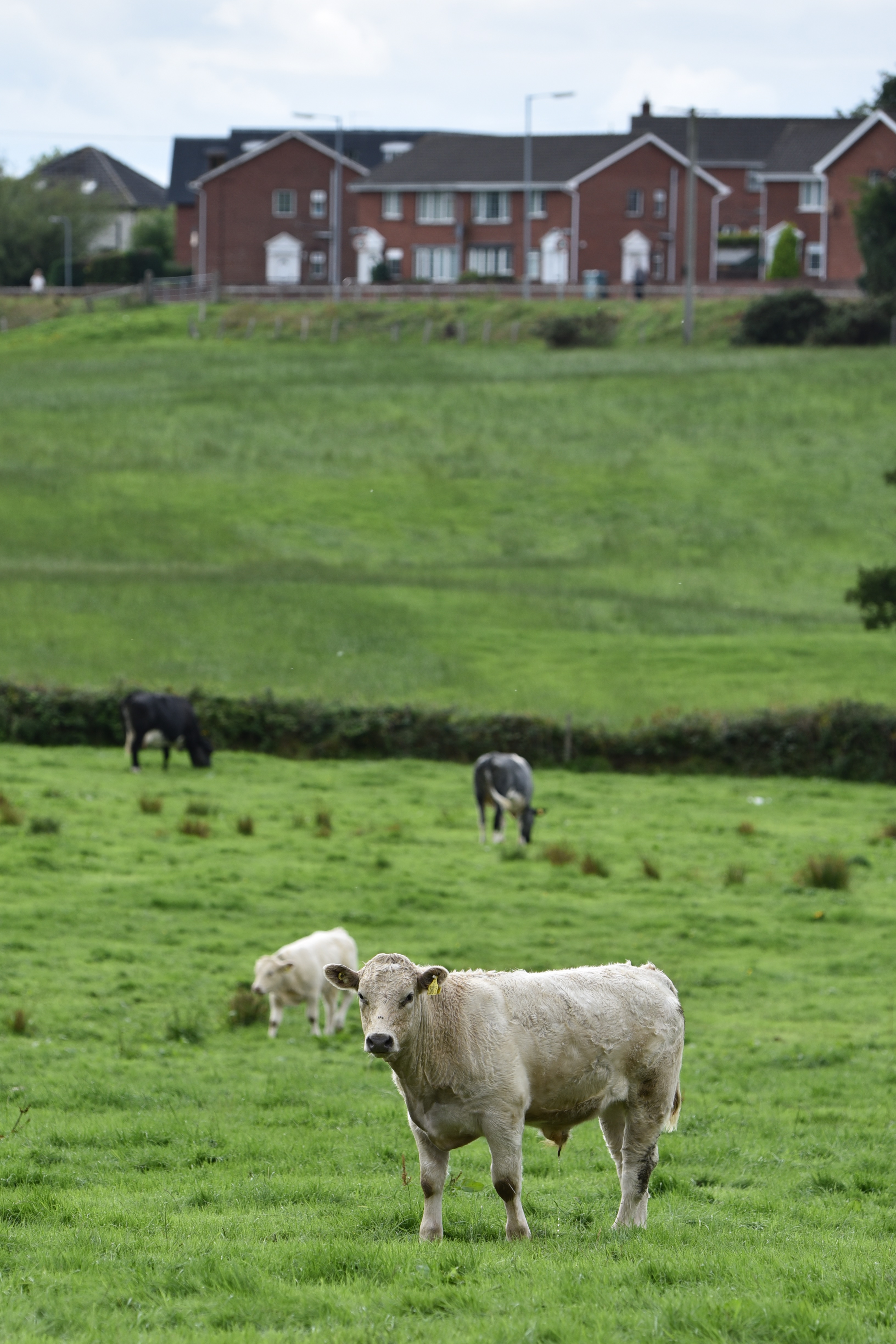
 Higher up in the hills, the streets of Ballymaconaghy eventually give way to fields. The houses in the next photo, and the field beside them, are in Ballymaconaghy. The cattle are in the townland of Lisnabreeny.
more information
Which county is Ballymaconaghy in? County Down
Which civil parish is Ballymaconaghy in? Knockbreda
Which townlands border Ballymaconaghy? To the north, Ballymacarret. To the east, the Loop River is the boundary with Ballyrushboy, Multyhogy, Lisnasharragh and Cregagh. To the west, Ballynafoy, Galwally and Breda. To the south, Knockbreckan, Lisnabreeny and Ballylenaghan.
Click here for a map of Ballymaconaghy on Townlands.IE.
And finally, click here to read about the townland’s name on my usual source – PLACENAMESNI.ORG.

[…] to go straight to my page about that townland. Or skip straight to this month’s new posts: Ballymaconaghy Drumreagh Galwally Carsonstown […]
LikeLike
[…] townlands border Galwally? To the east, Ballymaconaghy and Ballynafoy. To the south, Breda. To the west, on the other side of the river Lagan, Malone […]
LikeLike
[…] been used widely, creating the odd situation where Cregagh Road and Cregagh housing estate are in Ballymaconaghy townland, not Cregagh. Instead, Cregagh townland is a bit further east, as shown in dark green on […]
LikeLike
[…] river separating Ballyhackamore from Ballymacarrett; the Loop river separating Ballyrushboy from Ballymaconaghy; and the one that I was following, the Knock river, separating Ballyhackamore from […]
LikeLike
[…] townlands border Ballylenaghan? To the north, Breda. To the east, Ballydollaghan, Ballymaconaghy , Knockbreckan. To the west, Ballynavally and Upper […]
LikeLike
[…] townlands border Breda? To the north and east, Ballymaconaghy and Galwally. To the south, Ballylenaghan. To the west, on the other side of the river Lagan, […]
LikeLike
[…] Which townlands border Lisnabreeny? To the north, Castlereagh. To the east, Ballykeel, Crossnacreevy and Slatady. To the south, Clontonakelly. To the west, Knockbreckan, Cregagh and Ballymaconaghy. […]
LikeLike
[…] Lisnasharragh? To the north, Multyhogy. To the east, Carnamuck and Castlereagh. To the west, Ballymaconaghy and […]
LikeLike