Ireland has ten townlands called Drumreagh, of which three are in County Down. Today I’m exploring the one between the villages of Killinchy and Ballygowan.

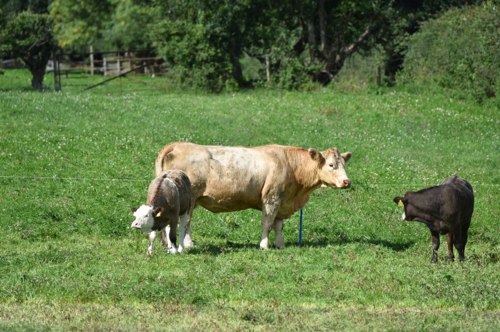
This is a large rural townland, spread across farmland between the Moss Road and Kilcarn Road. It includes an old burial site – Kilcarn graveyard. The eastern boundary is marked by the Blackwater River and Capel Water, which eventually merge and flow into Strangford Lough.
The first part of the name is straightforward: “Drum” comes from the Irish
Droim meaning “ridge”. My father and I once struggled up the hill to that ridge with an ailing tractor that only just made it to be repaired by
Martin Hanna of Drumreagh.

The “reagh” part of the name is not so clear. The suggestions from
PLACENAMESNI are
Riabhach meaning “grey”,
Creiche meaning “the foray” and
Croidh meaning “cattle”. I will go with cattle.

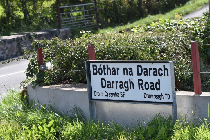
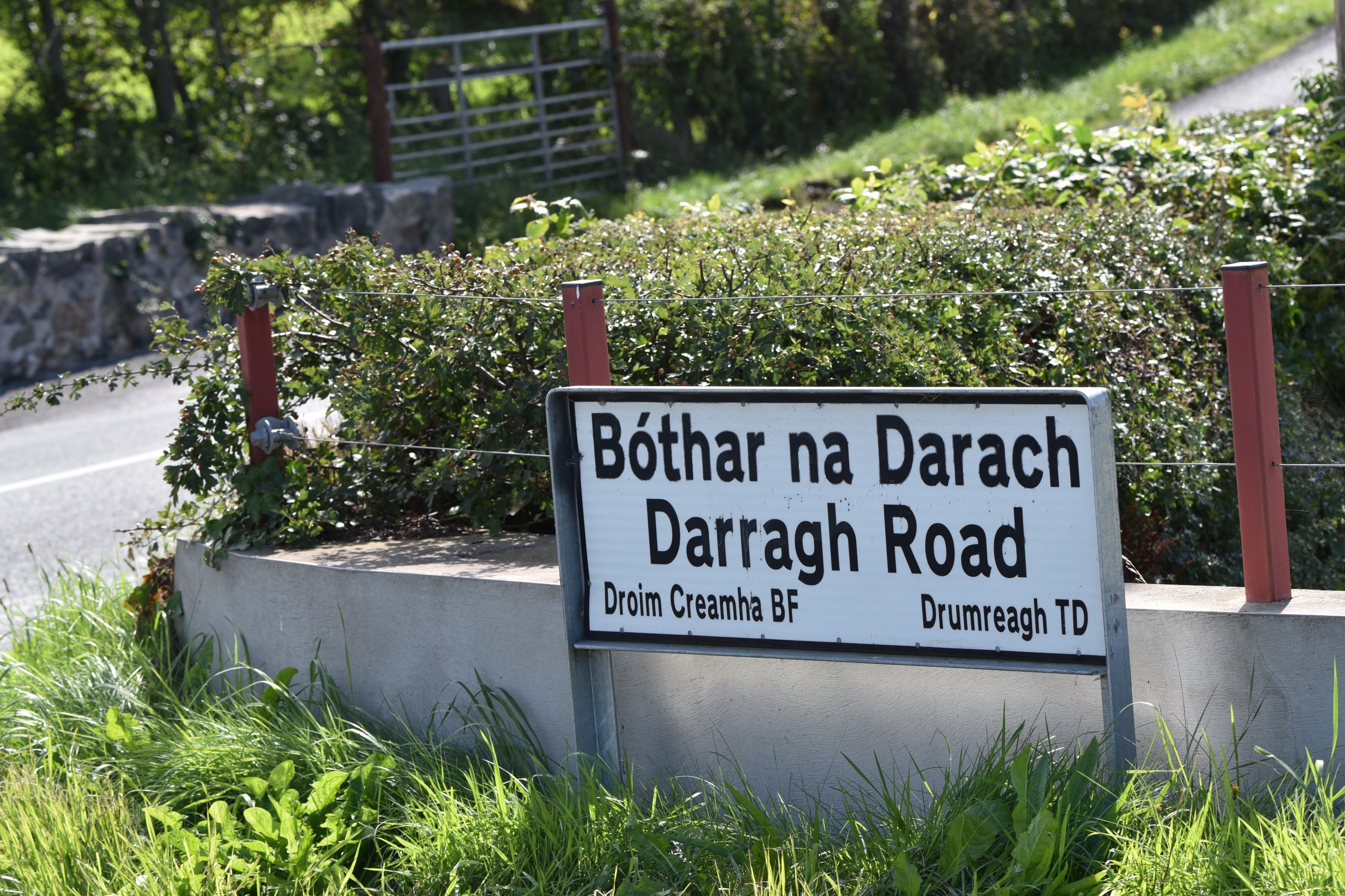
Yet another Irish version appears on this road sign –
Droim Creamha. This would give a lovely origin – the townland of the wild garlic.
more information
Which county is Drumreagh in? County Down
Which parish is Drumreagh in? Killinchy
Which townlands border Drumreagh? To the north, Magherascouse. To the east,
Kilmood and Ballybunden. To the south, Barnmaghery,
Raffrey and Ballymacashen. To the west,
Carrickmannan.
Click here to see gravestones related to this townland.
Click here to see a map of the townland on Townlands.IE.
And finally, click here to read more about the history of the townland name on PLACENAMESNI.org.

 This is a large rural townland, spread across farmland between the Moss Road and Kilcarn Road. It includes an old burial site – Kilcarn graveyard. The eastern boundary is marked by the Blackwater River and Capel Water, which eventually merge and flow into Strangford Lough.
 The first part of the name is straightforward: “Drum” comes from the Irish Droim meaning “ridge”. My father and I once struggled up the hill to that ridge with an ailing tractor that only just made it to be repaired by Martin Hanna of Drumreagh.
 The “reagh” part of the name is not so clear. The suggestions from PLACENAMESNI are Riabhach meaning “grey”, Creiche meaning “the foray” and Croidh meaning “cattle”. I will go with cattle.
 Yet another Irish version appears on this road sign – Droim Creamha. This would give a lovely origin – the townland of the wild garlic.

[…] to go straight to my page about that townland. Or skip straight to this month’s new posts: Drumreagh Galwally Carsonstown […]
LikeLike
[…] townlands border Carrickmannan? To the north, Ballygowan and Magherascouse. To the east, Drumreagh. To the south, Barnmaghery, Aughnadarragh and Carsonstown. To the west, […]
LikeLike
[…] Tullynagee? Clockwise from the north, Lisbarnet, Ballyministragh, Kilmood & Ballybunden, Drumreagh, Magherascouse and […]
LikeLike
[…] townlands border Raffrey? To the north, Ballymacashen and Drumreagh. To the east, Ballymacreelly and Derryboy. To the south, Ballyalgan and Creevybeg. To the west, […]
LikeLike
[…] Which other townlands border Kilmood & Ballybunden? To the north, Tullynagee. To the east, Ballyministragh. To the south, Balloo and Ballymacashen. To the west, Drumreagh. […]
LikeLike
[…] sign (which I also used for the townland of Drumreagh) gives both the English ‘Darragh’ and the Irish Darach for the road into the village of […]
LikeLike