
Today’s townland is Aughnadarragh, near Saintfield in County Down. It’s mainly farmland, with fields spreading out on both sides of the B6 Killyleagh Road between Station Road and Darragh Cross.
‘Aughna’ comes from an Irish word for a field.
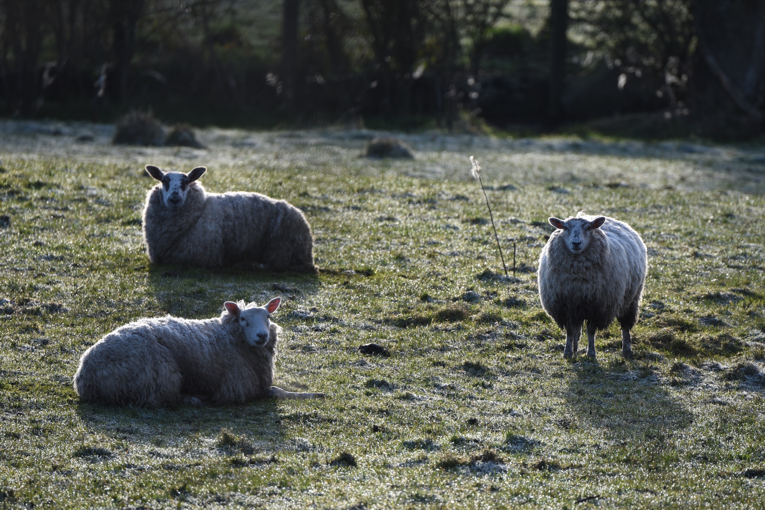 Those sheep look cold, but they had plenty to eat.
 Enough food for the next generation of Aughnadarragh sheep.
 According to PLACENAMESNI.org, the ‘darragh’ part of ‘Aughnadarragh’ comes from the Irish darach meaning oak tree. I have started looking for oaks, but so far I’ve only found written evidence, no actual trees.
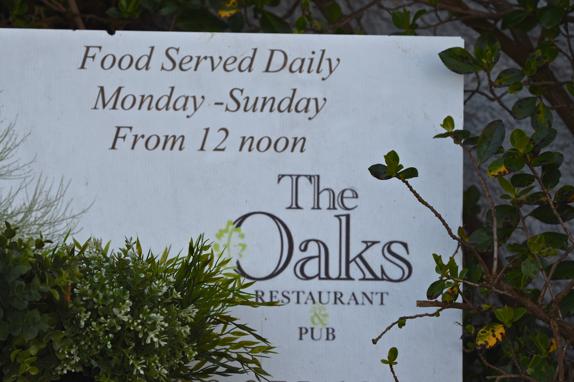
“The Oaks” is a pub in the village of Darragh Cross, just to the southeast of Aughnadarragh townland.
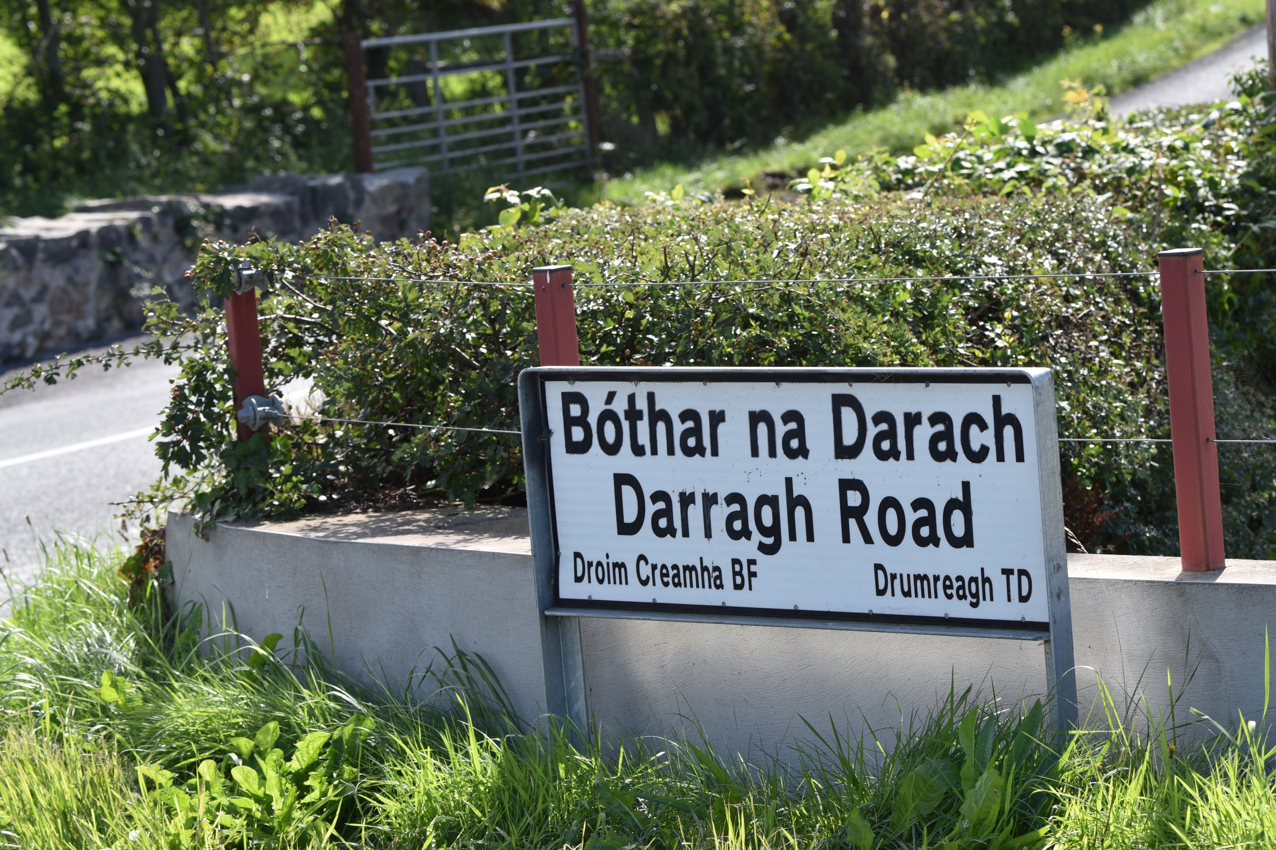
 This sign (which I also used for the townland of Drumreagh) gives both the English ‘Darragh’ and the Irish Darach for the road into the village of Darragh Cross.
 This is the bridge over the Carsons Dam River river, looking from Carsonstown into Aughnadarragh. I should have checked those trees, shouldn’t I, to see if they were oaks?

MORE INFORMATION
Which county is Aughnadarragh in? County Down
Which parish is Aughnadarragh in? Killinchy
Which other townlands border Aughnadarragh? To the north, Carrickmannan. To the east, Barnamaghery. To the west, Carsonstown. To the south, Lisowen.
Click here to see a map of Aughnadarragh on TOWNLANDS.IE
And finally click here to read more about the townland name on PLACENAMESNI.org.

[…] to go straight to my page about that townland. Or skip straight to this month’s new posts: Aughnadarragh Carnamuck […]
LikeLike
[…] border Carsonstown? To the north, Ballycloghan, Ravara and Carrickmannan . To the east, Aughnadarragh. To the south, Lisowen and Leggygowan. To west, […]
LikeLike