
Today I’m continuing my summer tour of County Down’s coastline, exploring the townland of Kearney.
 The Ballyblack Road will take you across the Ards peninsula from Portaferry to Kearney. If you see this tractor, you’re on the right track.
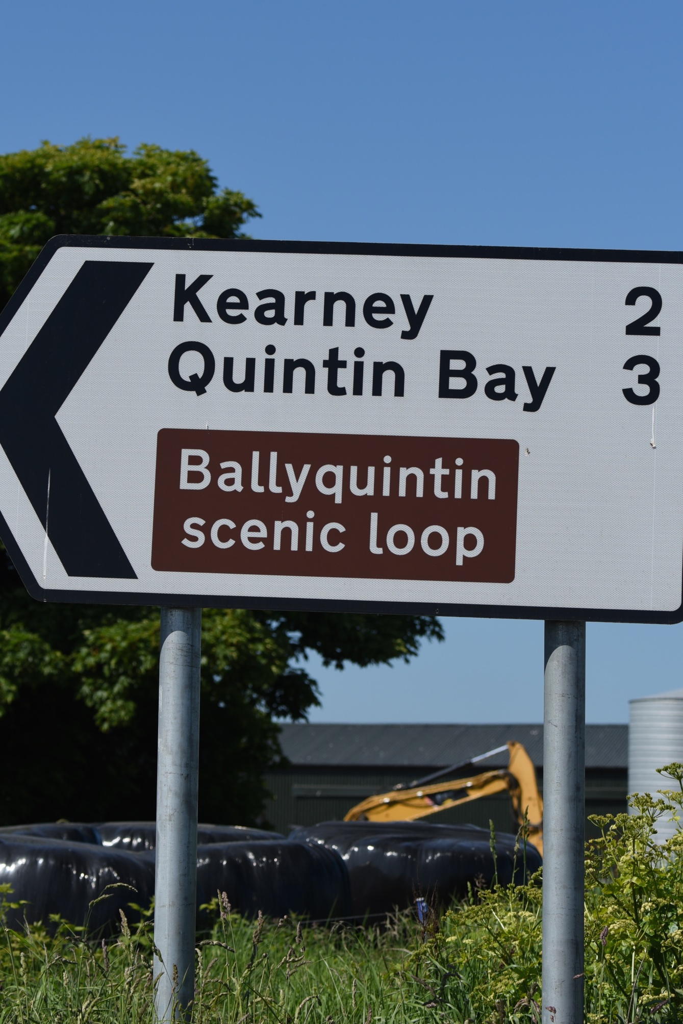
 The Kearney Road ends at a (free) carpark beside a village of white cottages, now restored and rented out by the National Trust, which bought the land in 1965. From the carpark, you can walk down to the shore, following signs like this.
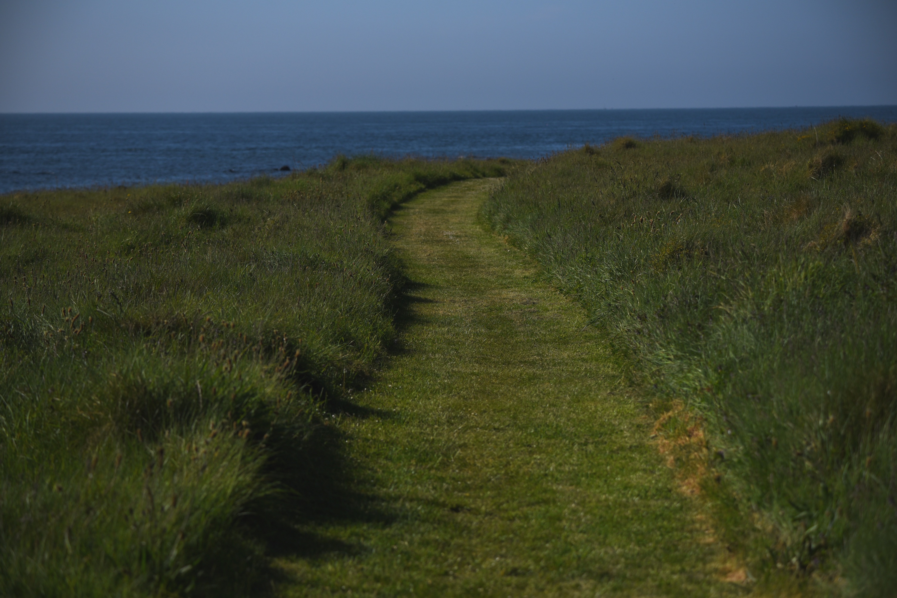
 Isn’t this the gentlest trail you’ve ever seen?
 Things are a bit sharper at the shore. Which is a good thing for me, because I was looking for stones, cairns, angular rocks, or any of the possible sources for the townland name. PLACENAMESNI suggests that the place had a medieval Irish name like Baile Chairn meaning “townland of the cairn” which was then replaced with a Scots version – cairny.
 I walked here in June – a perfect time for wildflowers like thrift and sea campion.
 Also a perfect season for grazing and suckling.

more information
Click on these links for more information on walks from the Kearney carpark:
Linda Stewart “Walk of the Week” in the Belfast Telegraph
Which county is Kearney in? County Down
Which civil parish is Kearney in? Ballytrustan
Which townlands border Kearney? Dooey and Knockinelder.
Click here to see a map of Kearney on Townlands.IE.
And finally, click here to read more about the townland name on PLACENAMESNI.ORG.

[…] skip straight to this month’s new posts: Kearney, Keentagh, Tara, Cloghy, Rosemount, Ballyleidy, Ballymartin, […]
LikeLike
[…] still on the south-eastern coast of the Ards Peninsula in County Down. Remember my post on Kearney? From there I headed south round the headland into the townland of […]
LikeLike