
Today’s townland is Glastry, on the Ards Peninsula. Glastry lies inland, though nowhere on the peninsula is really far from the sea.

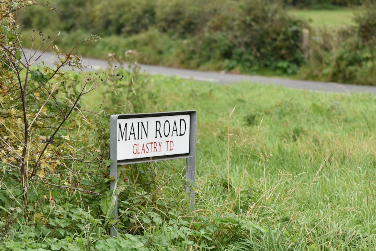
Glastry has a “Main Road” but it’s not exactly massive, or busy with traffic.
I’m sure there would be more traffic on a school day, as this townland is home to Glastry College.

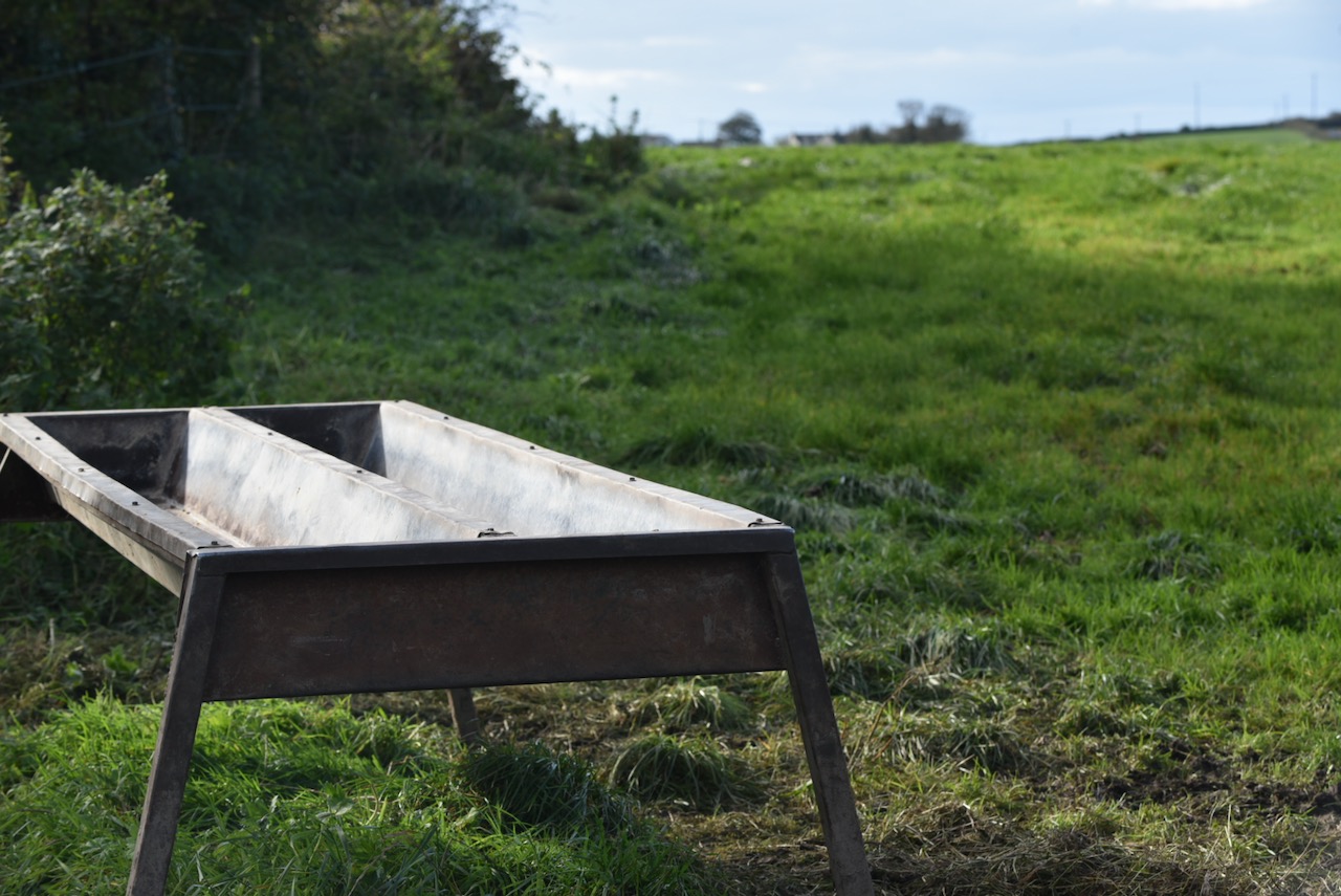
Glastry is mostly farmland, so I’m happy to go along with the theory on the website of the Northern Ireland Place-Names Project that the original Irish name of the townland An Ghlasrach meant ‘the green grassy area’.
Here is an image of one part of Glastry that uses its green grassy area for sport instead of farming.

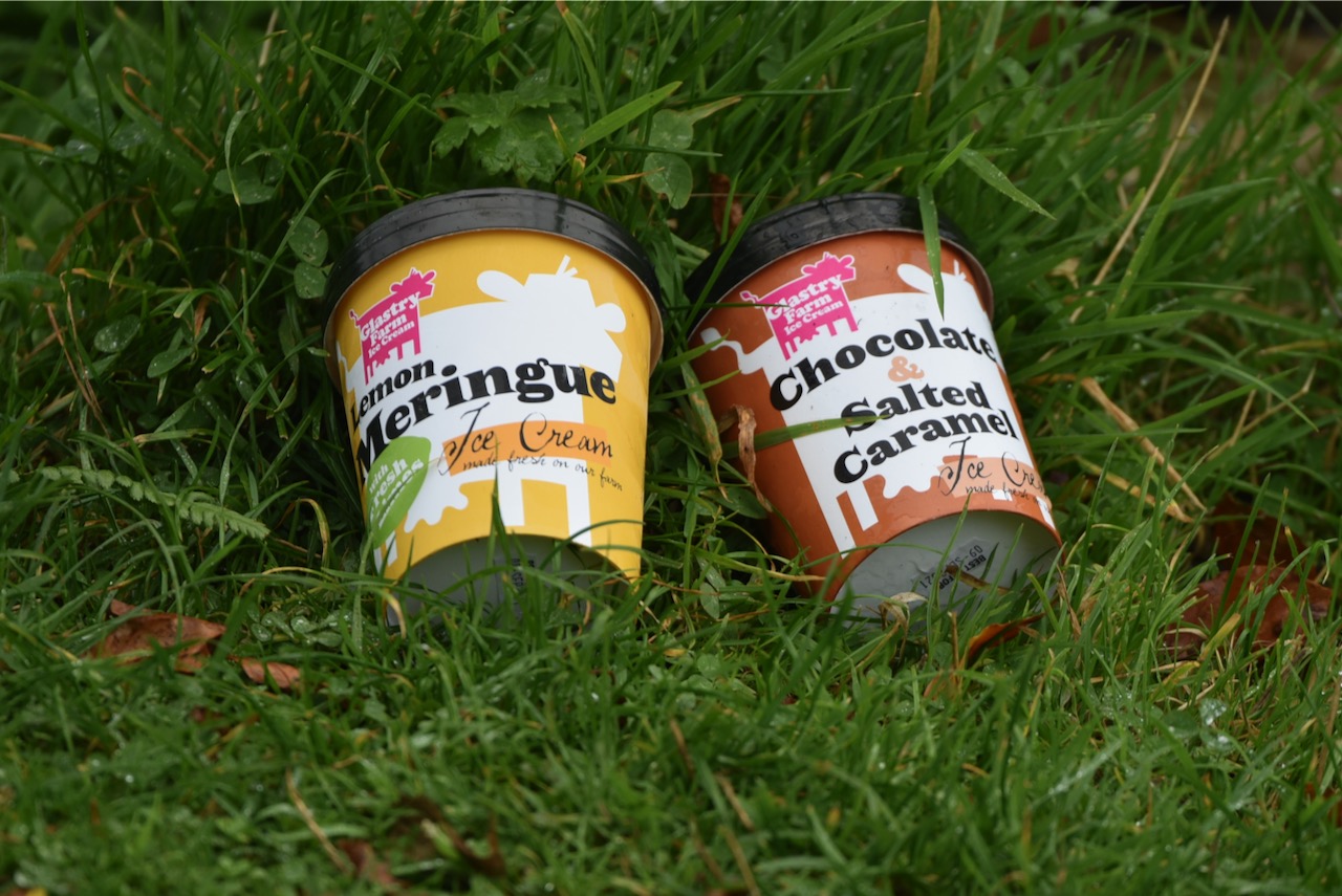
The people at Glastry Farm have come up with another good use for their townland’s green grass: feeding cows to give milk to make ice cream!
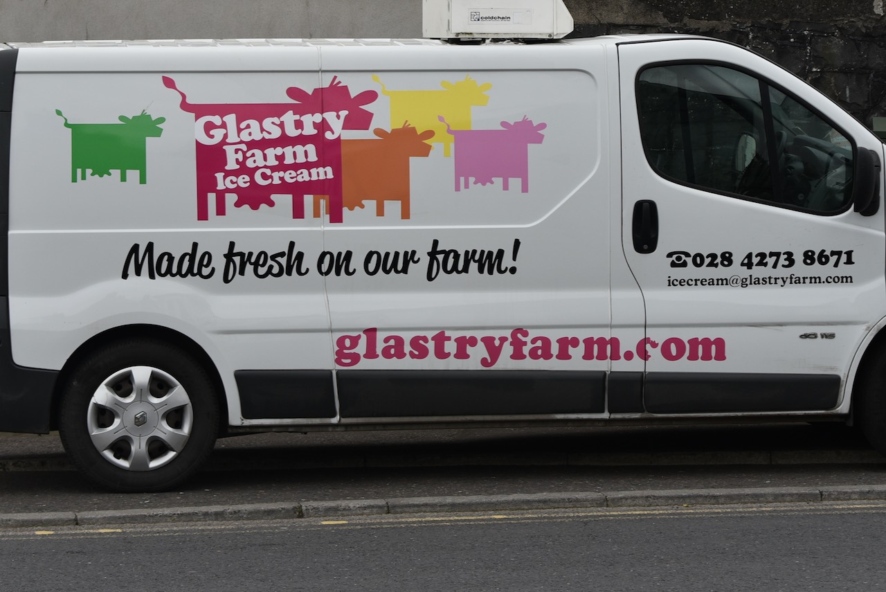
I’ll let you guess whether I hijacked the van or bought my tubs of Glastry Farm ice cream from a shop in the neighbouring townland of Ballyhalbert.
MORE INFORMATION
Which county is Glastry in? County Down
Which civil parish is Glastry in? St Andrews alias Ballyhalbert
Which townlands border Glastry? To the north, Ballylimp. To the east, Ballyesborough, Ballyhemlin, Ballyhalbert. To the south, Ballygraffan. To the west, Rowreagh and Kircubbin.

[…] to go straight to my page about that townland. Or skip straight to this month’s new posts: Glastry Ballylesson Kircubbin […]
LikeLiked by 1 person
[…] last week’s visit to Glastry, I drove south to the townland of Echlinville. I only knew of one place in Echlinville – the […]
LikeLiked by 1 person
The “Glastry” part of the Main Road sign is somewhat misleading – it only stays in Glastry for 350 metres before spending the vast majority of its duration in Ballyeasborough (the sign for which is also trying to trick you into thinking that we spell it as ‘Ballyesborough’, which we do not), Ballyfrench and Portavogie, where it is locally known as the ‘Top Road’.
LikeLiked by 1 person