
Ballynahinch in County Down is a town and a townland.
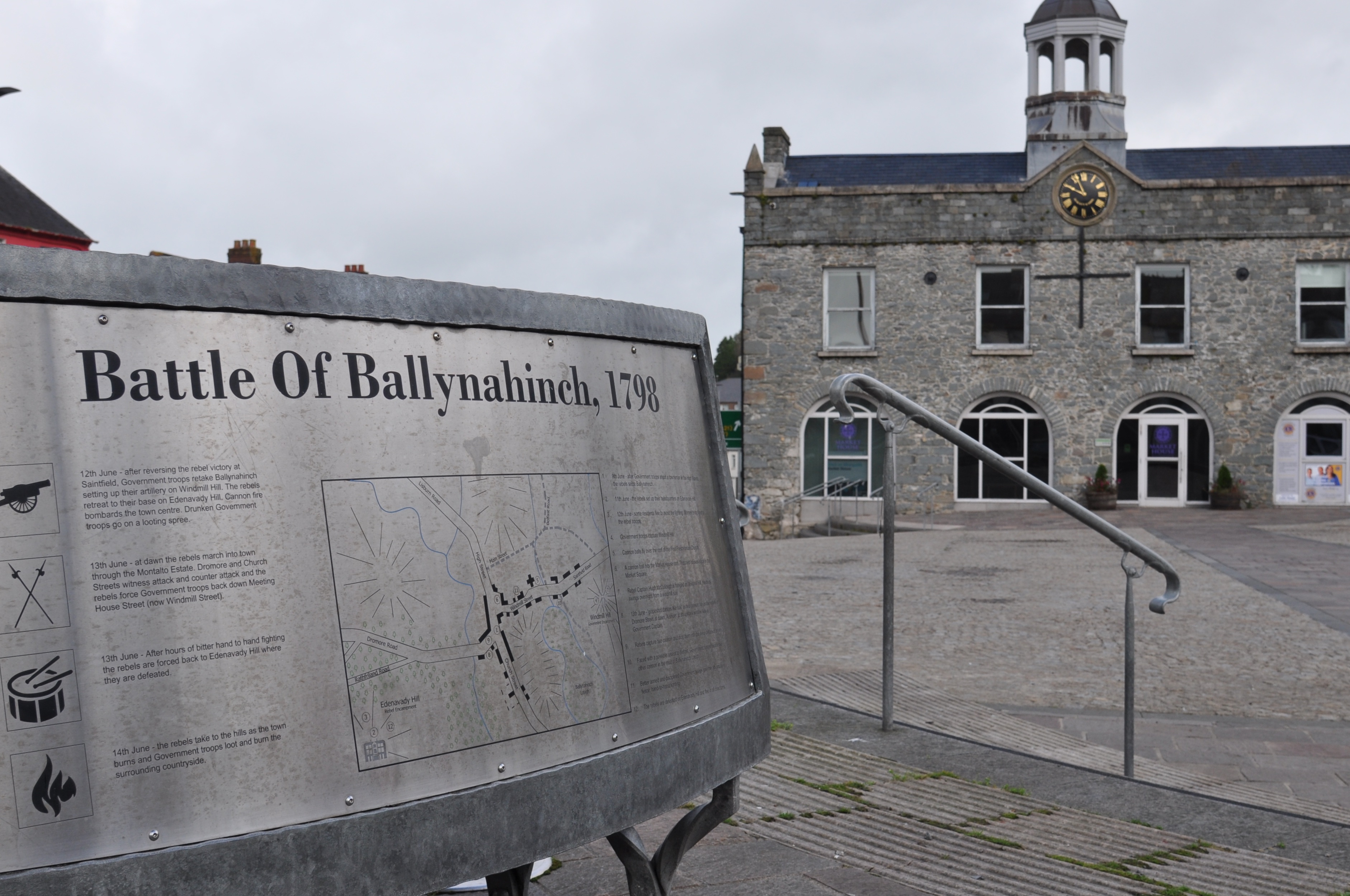
 This sign explains the role of Ballynahinch in the 1798 rebellion. I’m not so keen on battles, but the market square is the place to start for anyone wanting to know more about the local area.
 What a great place for me – I can learn about the townlands without leaving the market square. Here’s just a sample of Magheradrool, Magheratimpany, Creevytenant and Ballynahinch.

 The bench claims that Ballynahinch is an island – how can that be? Well, the website of the Northern Ireland Place-Name Project explains that the Irish word inis can describe land partly surrounded by water. (I’ve come across this before, in the townland of Inch.) The Ballynahinch river creates this inis.
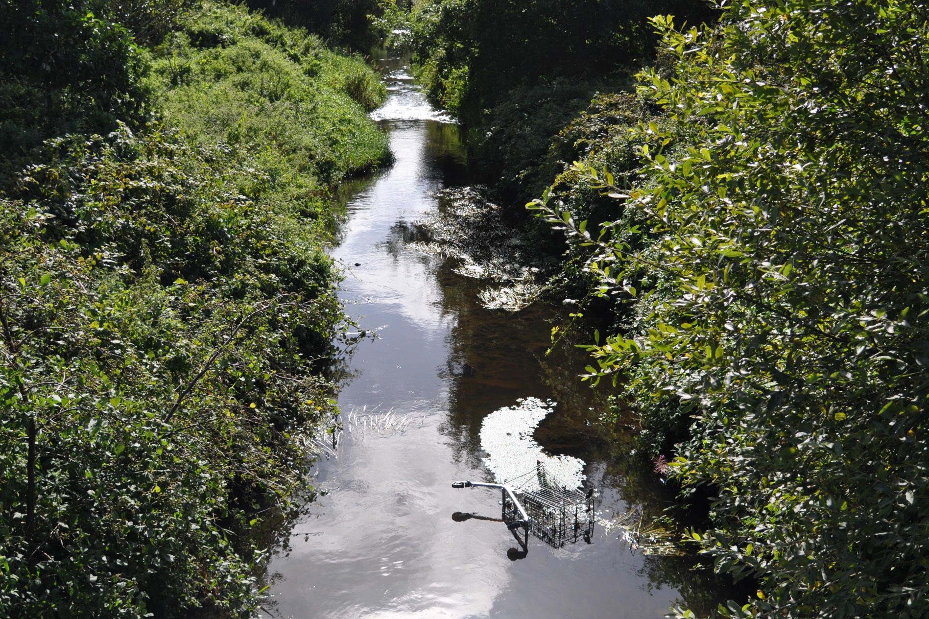 At first I thought the shopping trolley had ruined the idyllic river scene, but then I spotted a kingfisher.
 Before I could get a better photo, the kingfisher had flown low and fast along the river, with blue wings flashing.
MORE INFORMATION
Which county is Ballynahinch in? County Down
Which parish is Ballynahinch in? Magheradrool
Which townlands border Ballynahinch? To the north, Glasdrumman. To the east, Ballylone (Big and Little). To the south, Ballymaglave (North and South) and Magheradrool. To the west, Ballykine Lower.
Click here for a map of Ballynahinch on Townlands.IE
Click here for more information about the townland name on PLACENAMESNI.ORG.

[…] to go straight to my page about that townland. Or skip straight to this month’s new posts: Ballynahinch, Orlock, Strandtown, […]
LikeLike
[…] places that are not quite islands, like the Inishowen Peninsula in County Donegal, the town of Ballynahinch in County Down, today’s townland on a water-meadow of the Quoile River, and the townland of […]
LikeLike
[…] you see the benches in my post on Ballynahinch? I’m back in the same market square to collect two more townlands: Ballymaglave North and […]
LikeLike