
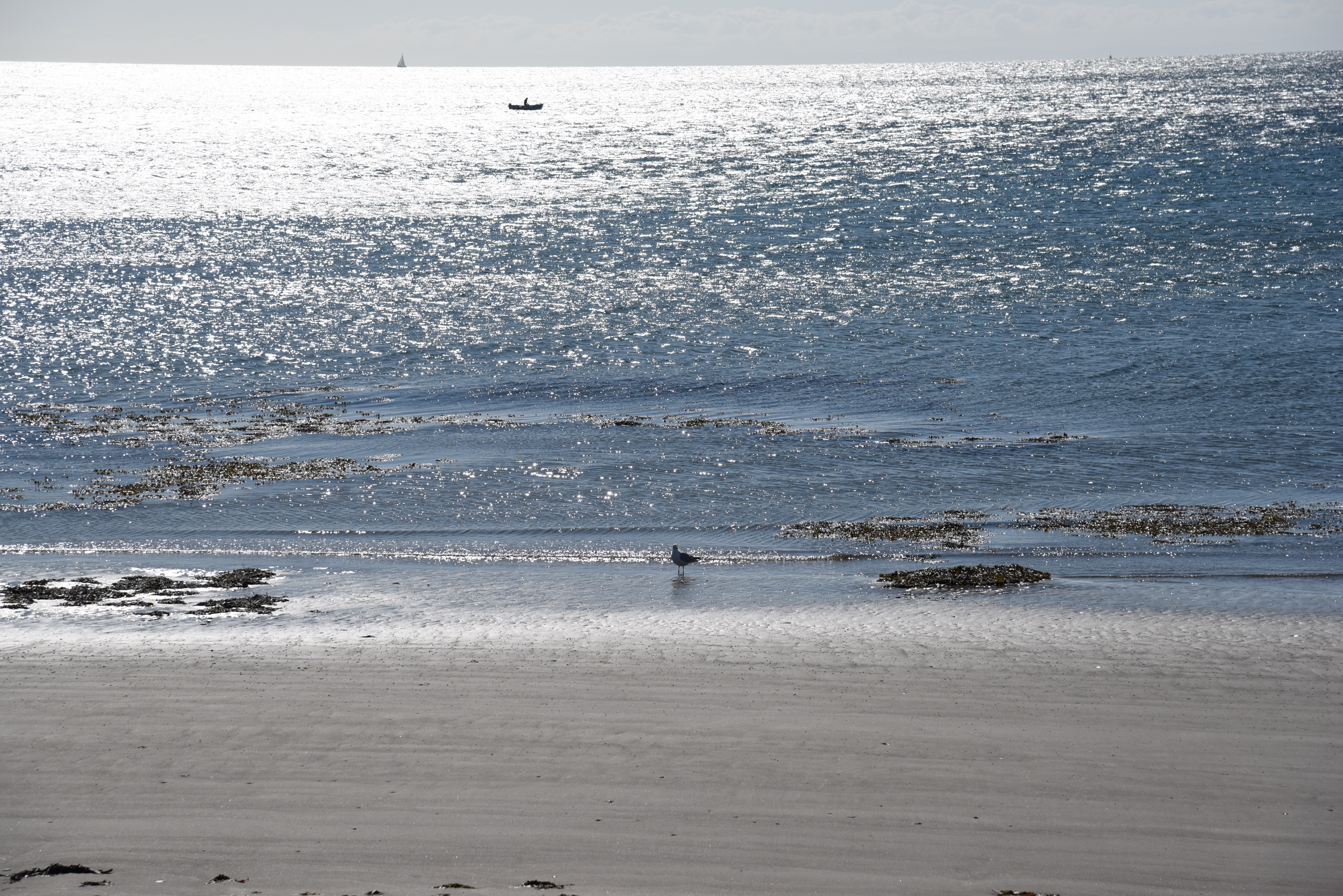
Whitechurch townland lies north of the town of Ballywalter on the Ards Peninsula, with this view of the Irish Sea.
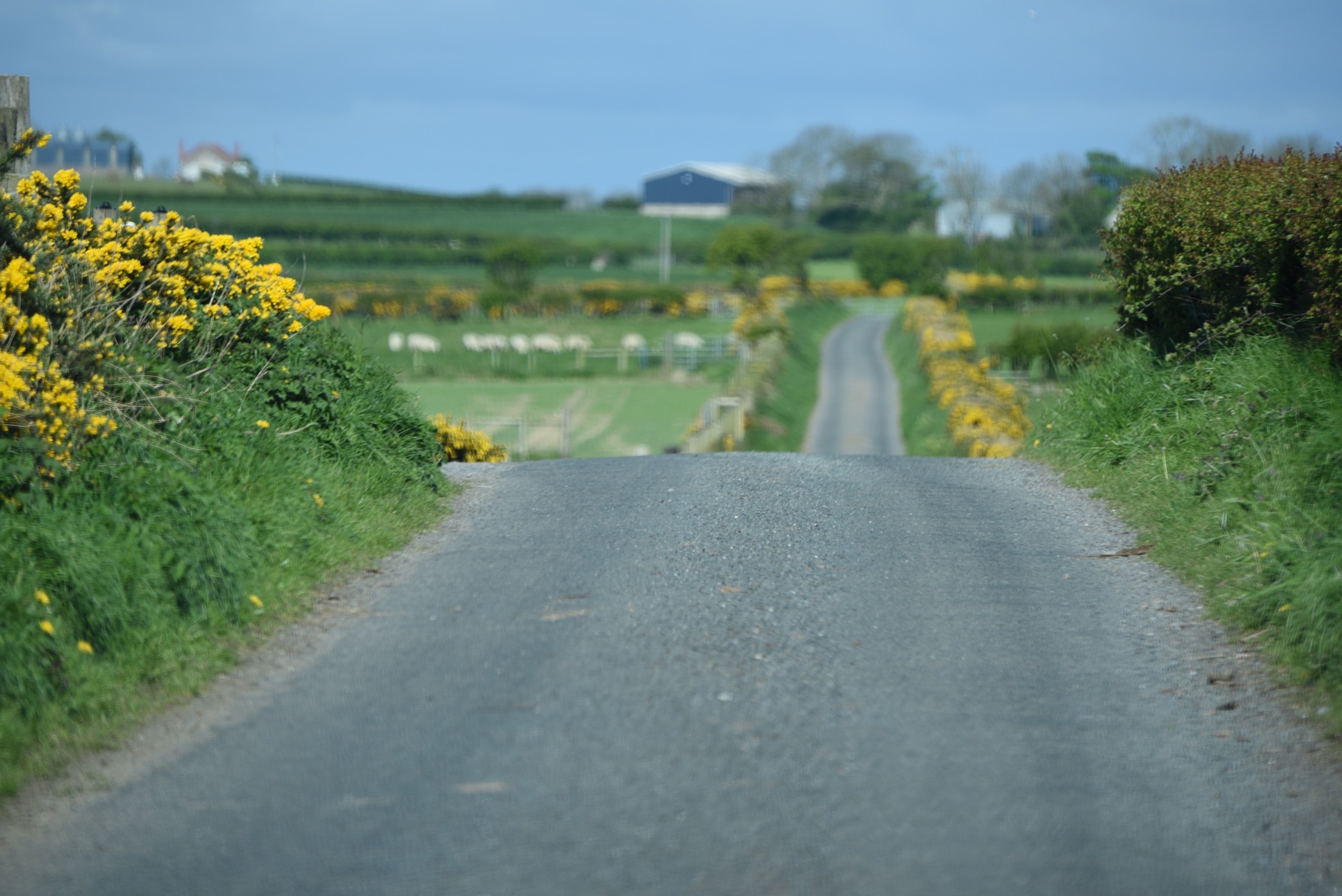
 The main A2 coastal road runs through the townland from north to south, and a couple of smaller roads lead inland. This is the Bairdstown Road.
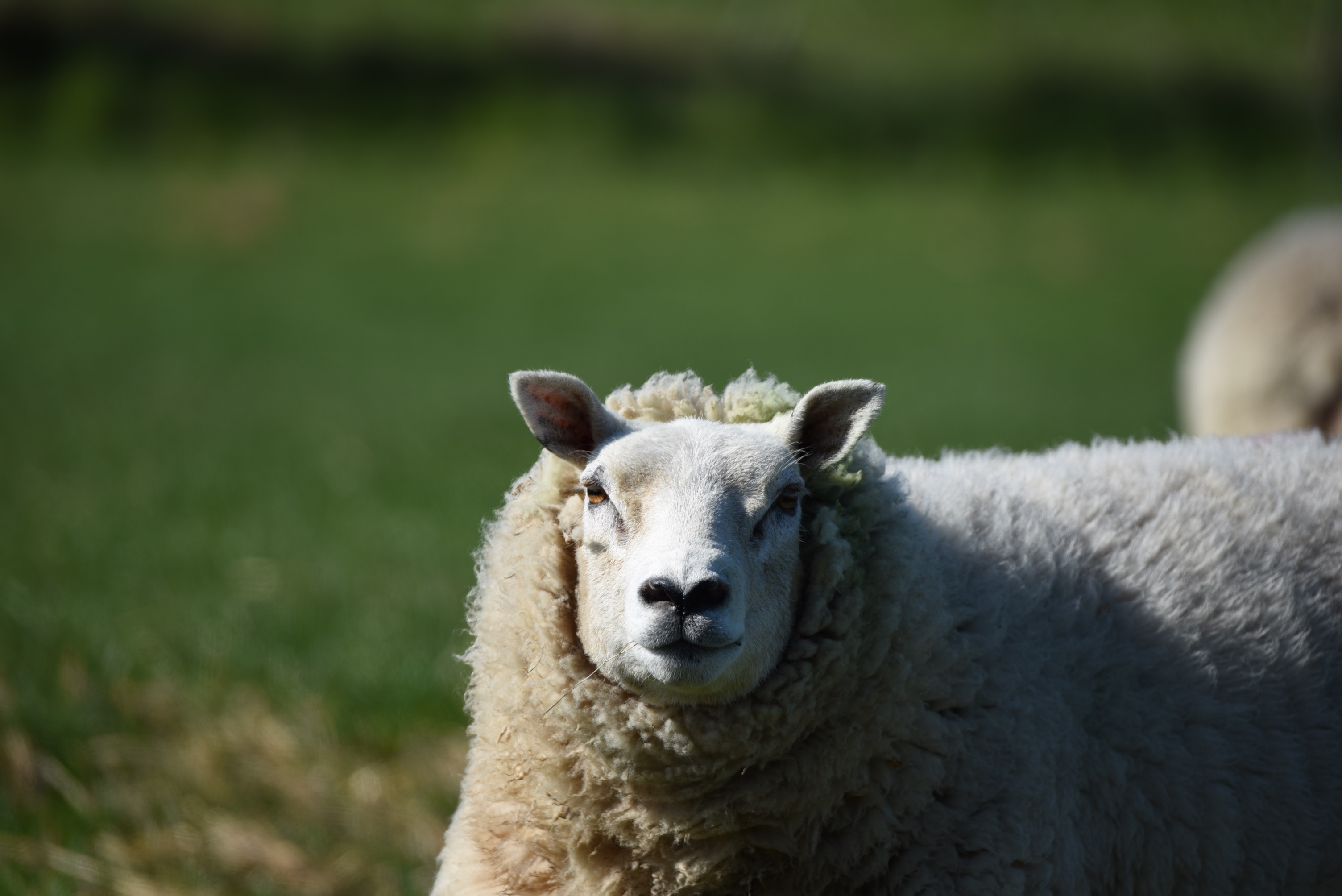
 Many of the fields were full of sheep – this is the only one who would turn to look at me.
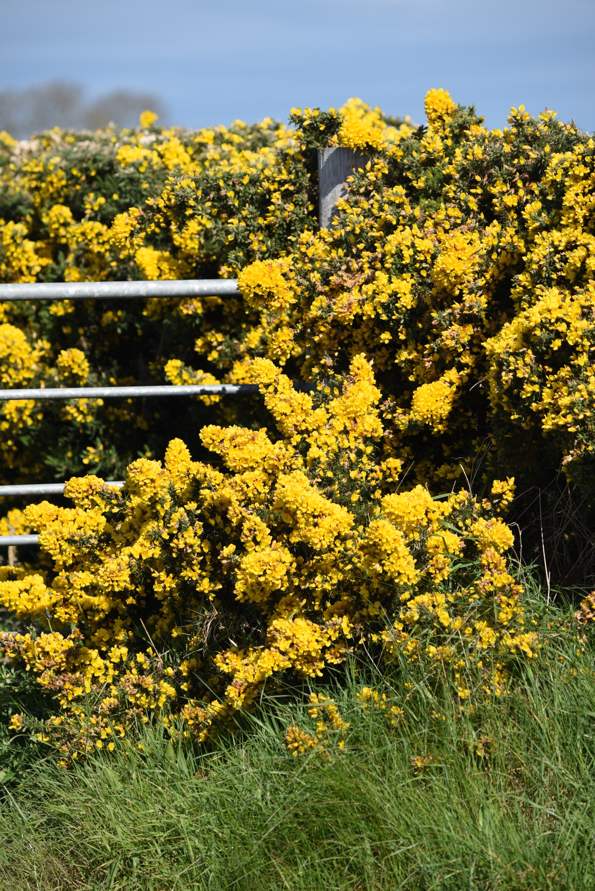
 And here is one more photo from the Bairdstown Road, of a gate barely visible underneath the gorse.
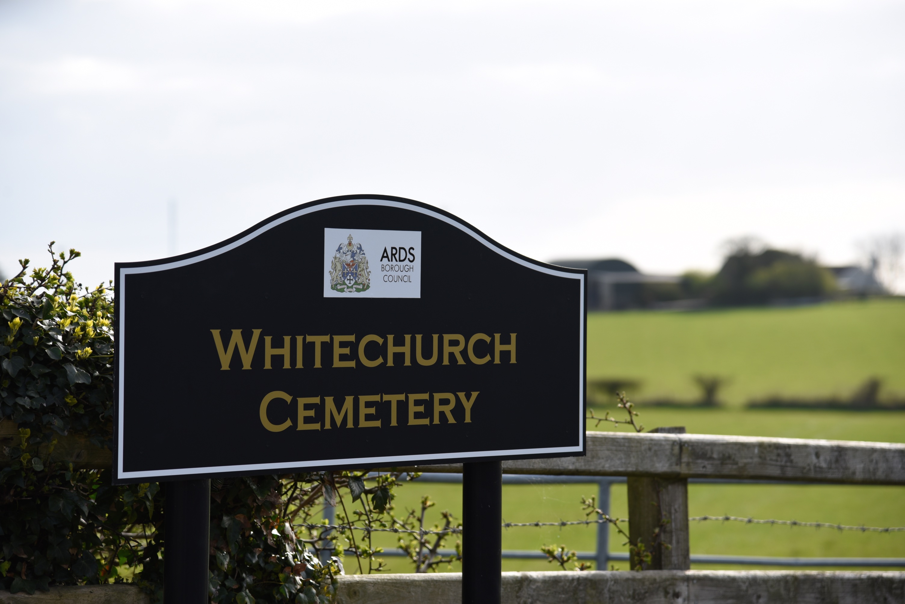
 Enough of the gates, you ask, where is the white church of the townland name? The original 13th century church lies in ruins, in Whitechurch Cemetery on Dunover Road.
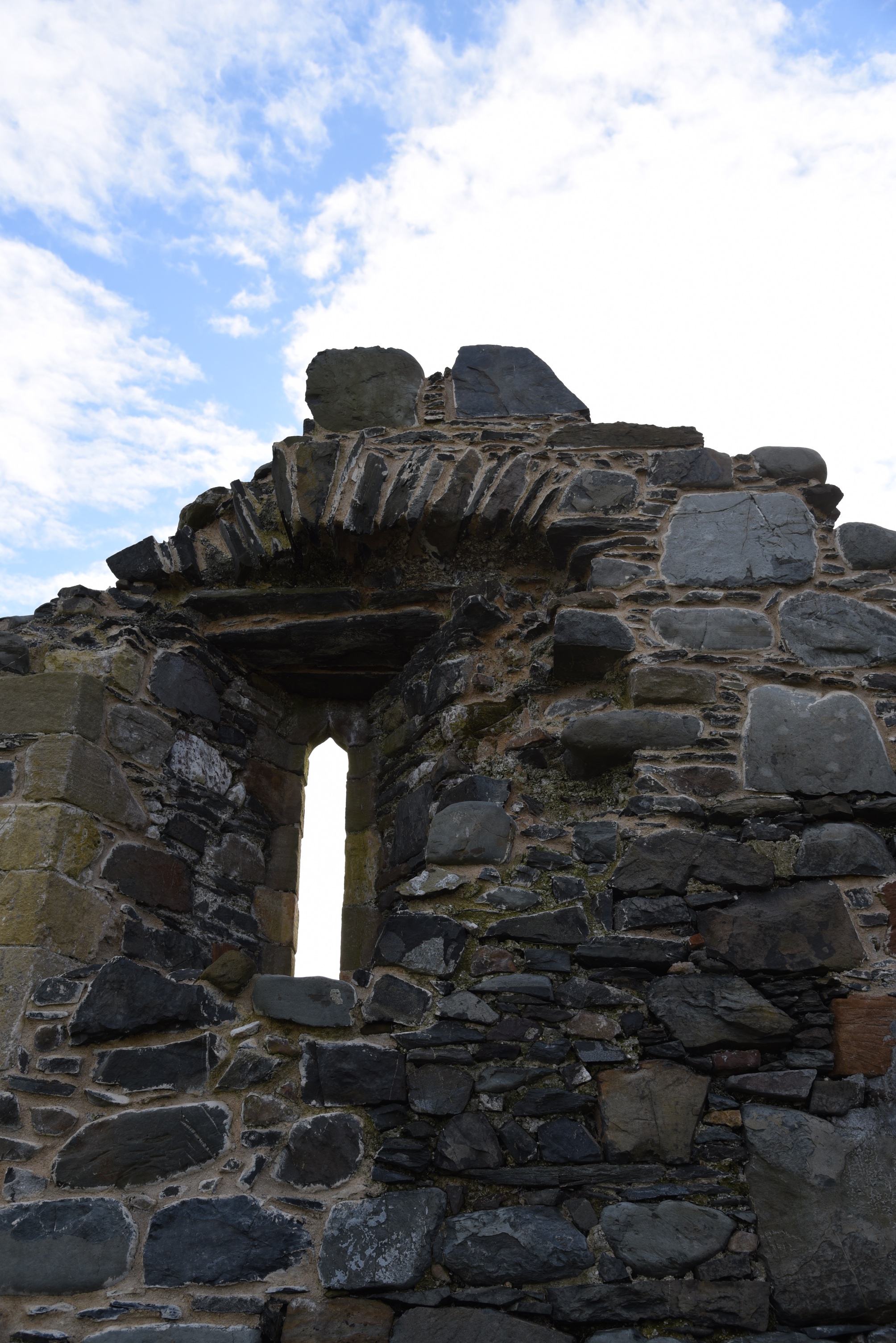 Since 1704, when a new church was built at nearby Balligan, the site has been used purely as a graveyard. The Church of Ireland congregation is now based at Holy Trinity Ballywalter, which was built in 1849.
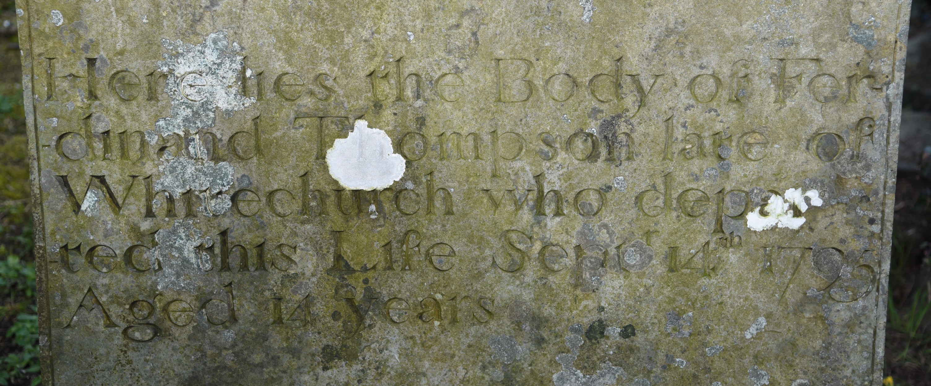
 This headstone from Whitechurch cemetery records the 1795 burial of Ferdinand Thompson.
 You can read more of the history of the church on the website of Ballywalter Parish of the Church of Ireland, and more about the graveyard on the website of the Ulster Scots Heritage Trail.
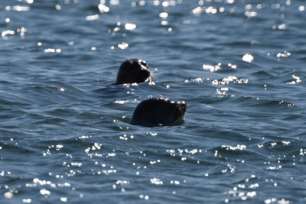
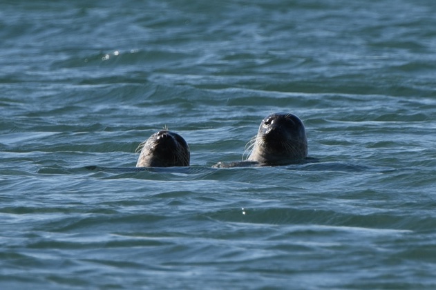
I started this post by showing you the coastline of Whitechurch, so I will finish with photos of the seals swimming there. Tempted to join them? According to www.seatemperature.org the water temperature at the surface of the sea at Ballywalter today was only 9.4°C (49°F).
MORE INFORMATION
Which county is Whitechurch in? County Down
Which civil parish is Whitechurch in? Ballywalter
Which townlands border Whitechurch? To the north, Ballyferis. To the east, the Irish Sea. To the south, Ballywalter and Dunover. To the west, Ballyatwood.
Click here to see a map of Whitechurch on Townlands.IE, which gives this reference for the location of the townland – 54° 33′ 18″ N, 5° 29′ 49″ W.
Click here to read more about the townland name on the website of PLACENAMESNI.org

Awww…. love the seal bobbing around checking out that funny two legged creature taking pics! 🙂
LikeLiked by 1 person
[…] Tullycore Tullynagardy Tullynagee Tullynakill Unicarval Victoria Park Whitechurch […]
LikeLike
[…] I had already found gravestones with Ballywalter inscriptions on my earlier visit to Whitechurch Cemetery. […]
LikeLike