
Ballygeegan is a townland southwest of Killinchy in County Down. The A22 road connecting Comber and Downpatrick runs through Ballygeegan, but it’s easy to get away from the main road into some peaceful countryside.
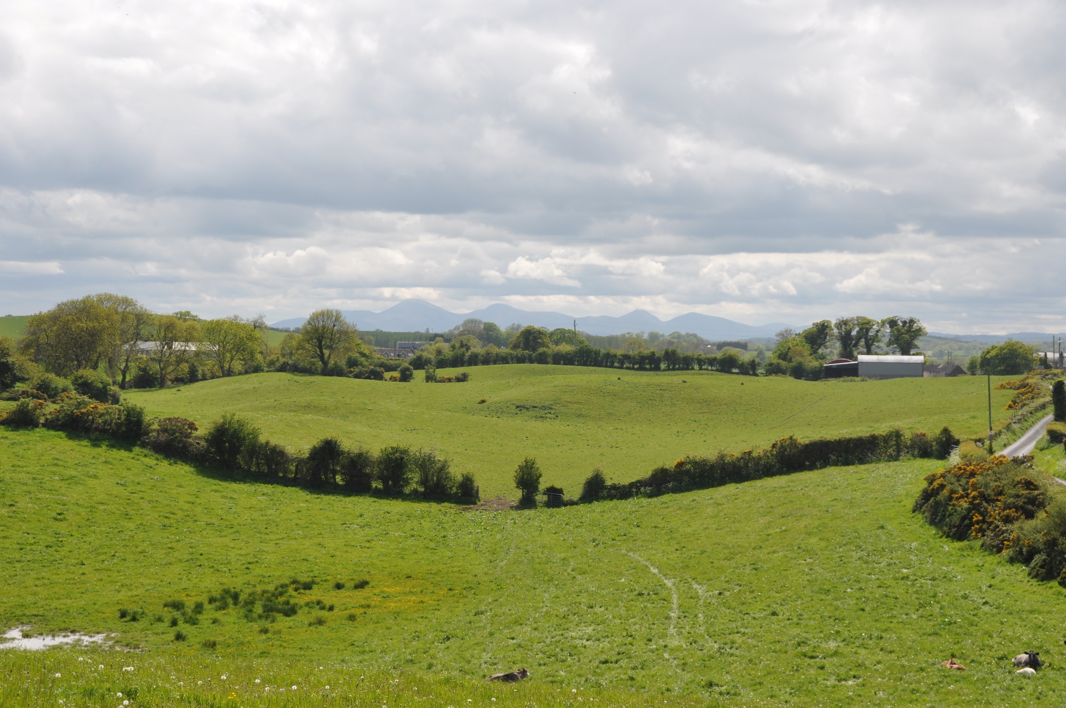
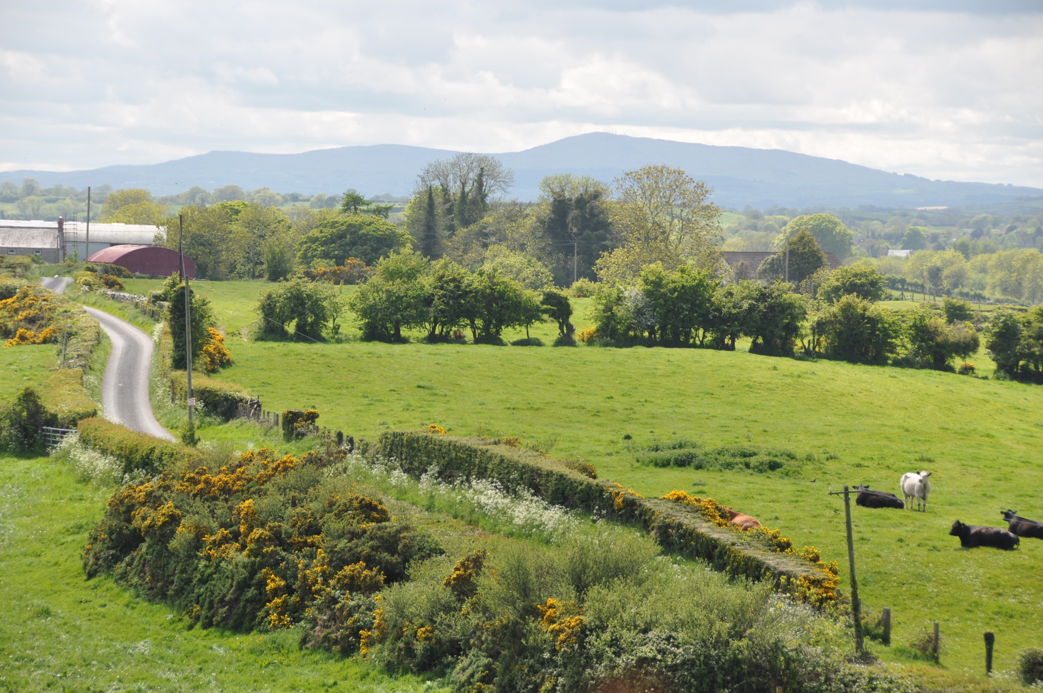 You can even get a view of the Mourne Mountains to the south.
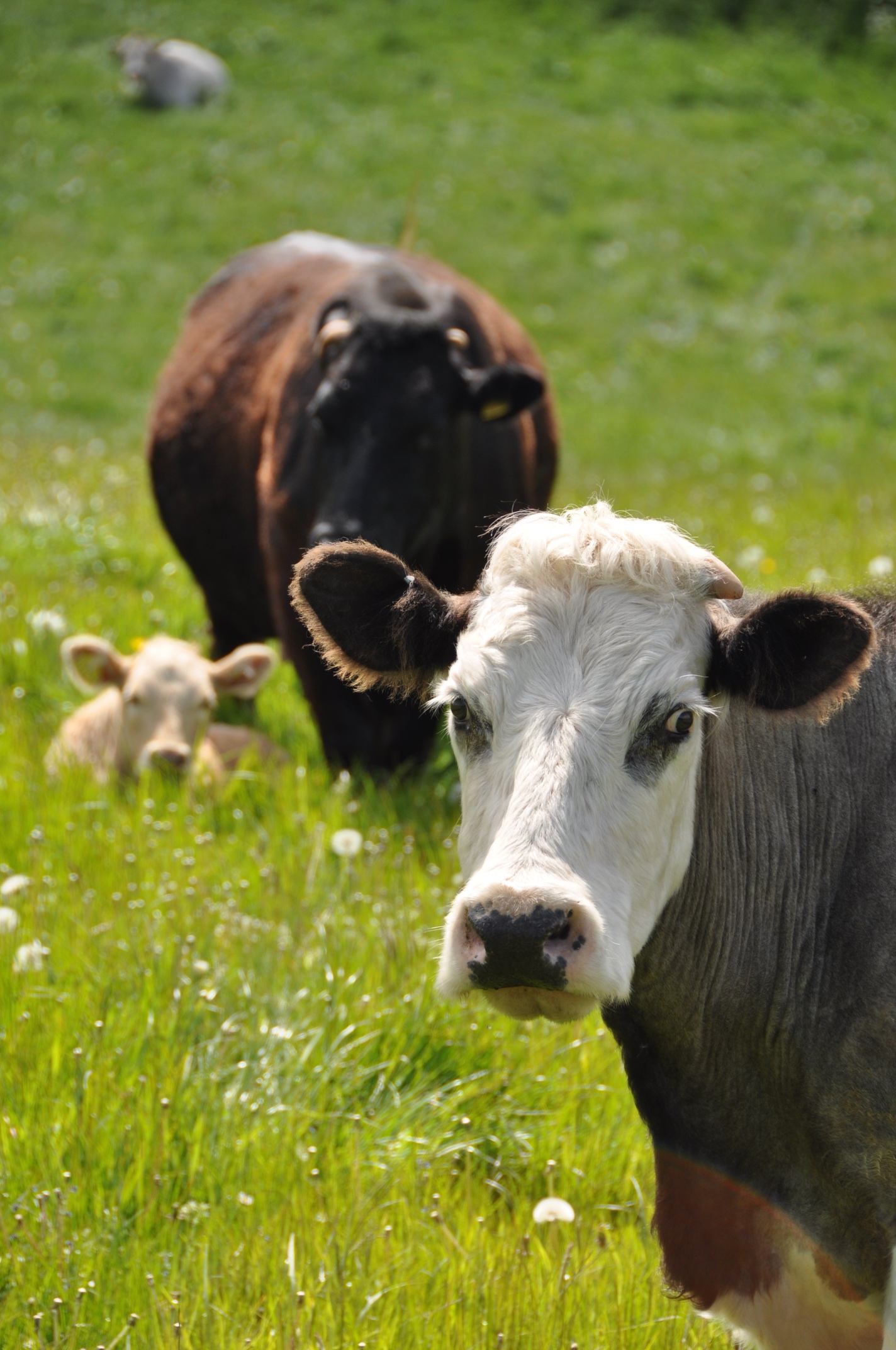
 There were more cattle than people on the day I took these photos.
 Back on the main road, you can see another spelling of the townland name at this wooden church hall.
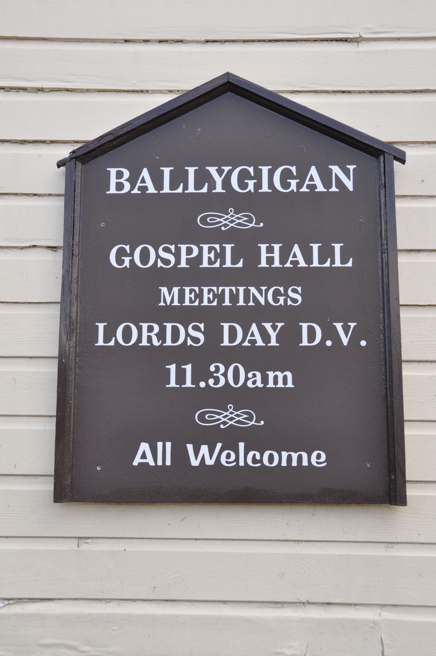 According to the PLACENAMESNI website, the name Ballygeegan probably comes from the Irish Baile Díogáin meaning “townland of the little ditch”.
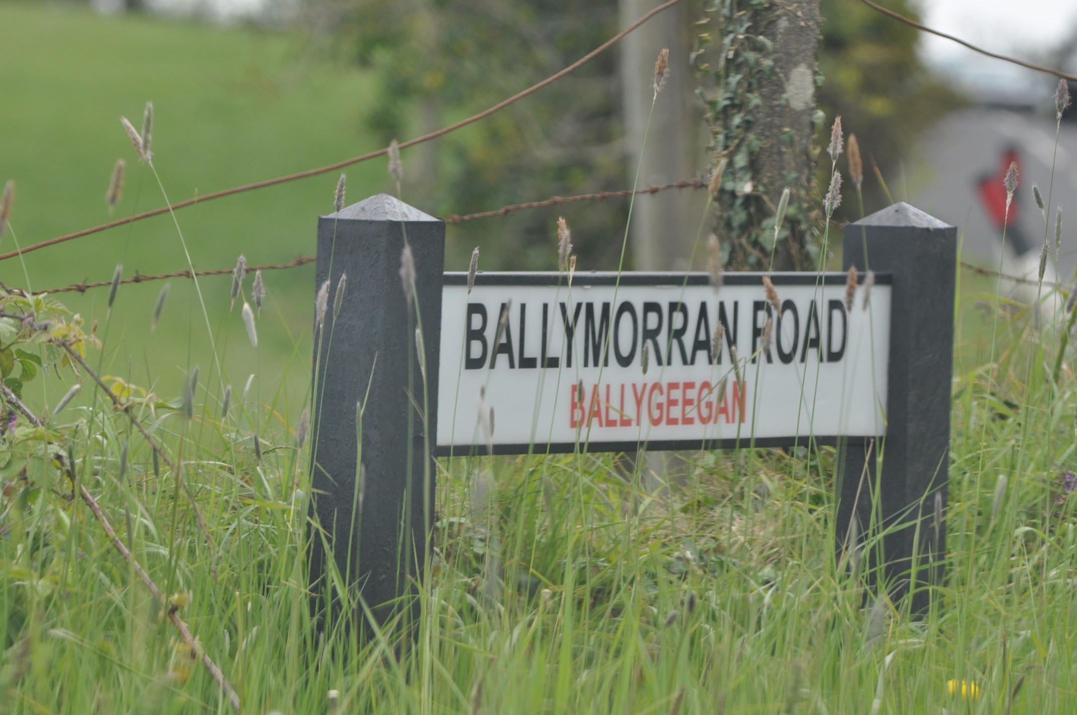 The Ballymorran Road winds through several townlands – I’ve already photographed it in Ballymorran and Ballymacarron townlands.
MORE INFORMATION
Which other townlands border Ballygeegan? To the north, Killinchy and Carrigullian. To the east, Tullycore, Ballybredagh and Tullymore. To the south, Clay, Ballymacarron, and a sliver of Toy and Kirkland. To the west, Ballymacreelly and Ballygoskin.
Which civil parish is Ballygeegan in? Killinchy
Which council area is Ballygeegan in? Newry Mourne and Down District Council
Which county is Ballygeegan in? County Down
And finally, click here to see a map of Ballygeegan and to read about the townland’s name on my usual source, the PLACENAMESNI.ORG.

[…] month my blog has explored these townlands: BALLYGEEGAN, KILLARN, TOWN PARKS OF COMBER, CRAIGANTLET, BRANIEL, BALLYHANWOOD, […]
LikeLike
[…] Which other townlands border Kirkland and Toy? To the east, Ballymacromwell. To the south, Rathcunningham and Tullymacnous. To the west, the main part of Clay townland. To the north, the small detached portion of Clay and a sliver of Ballygeegan. […]
LikeLike
Hi there
Do you know where Moss Island is? I have records of folk from there marrying at the Killinchy Presbyterian Church.
Thanks
Ron Law
New Zealand.
LikeLiked by 1 person
I will look at some maps today
LikeLike
Hi Ron, sorry, I don’t know where Moss Island is. Killinchy is close to Strangford Lough, so the most likely place to find ‘Moss Island’ is an actual island in the lough, but I haven’t found it on any maps, current or historic. There are many small rocks on the lough that might not be named on maps, but you would expect people to live on larger islands, wouldn’t you? Could ‘moss’ be a misreading of ‘cross’ or ‘marl’, because those islands do exist? Another possibility is that it isn’t a real island. Some Irish placenames (like Ballynahinch) have described a place close to water but not an actual island. Or is it a minor place name describing a house or farm (such as Moss Side in Ballymacreelly townland)? I guess the people marrying in Killinchy could have come from further away, an island on a different part of the Irish coast. Even so, I haven’t found ‘Moss Island’ anywhere in Northern Ireland on Placenamesni.org. Strangford Lough is a beautiful place for kayaking, so next time I’m heading out on the water I will ask if anyone knows of Moss Island.
Karolyn
LikeLike
Sorry I haven’t been able to help so far, but I’m interested, so do let me know if you have any other clues as to the location of Moss Island, and I can see what I can find out locally.
LikeLike