
Castleaverry is a rural townland in County Down. It must have the steepest gradient of any townland I have visited so far, sloping down from Scrabo townland towards the A21 road connecting Comber and Newtownards. At the top of the hill, Castleaverry reaches into the carpark for Scrabo Country Park. Below that, it’s all farmland.
 Moate Road is the spine of the townland.
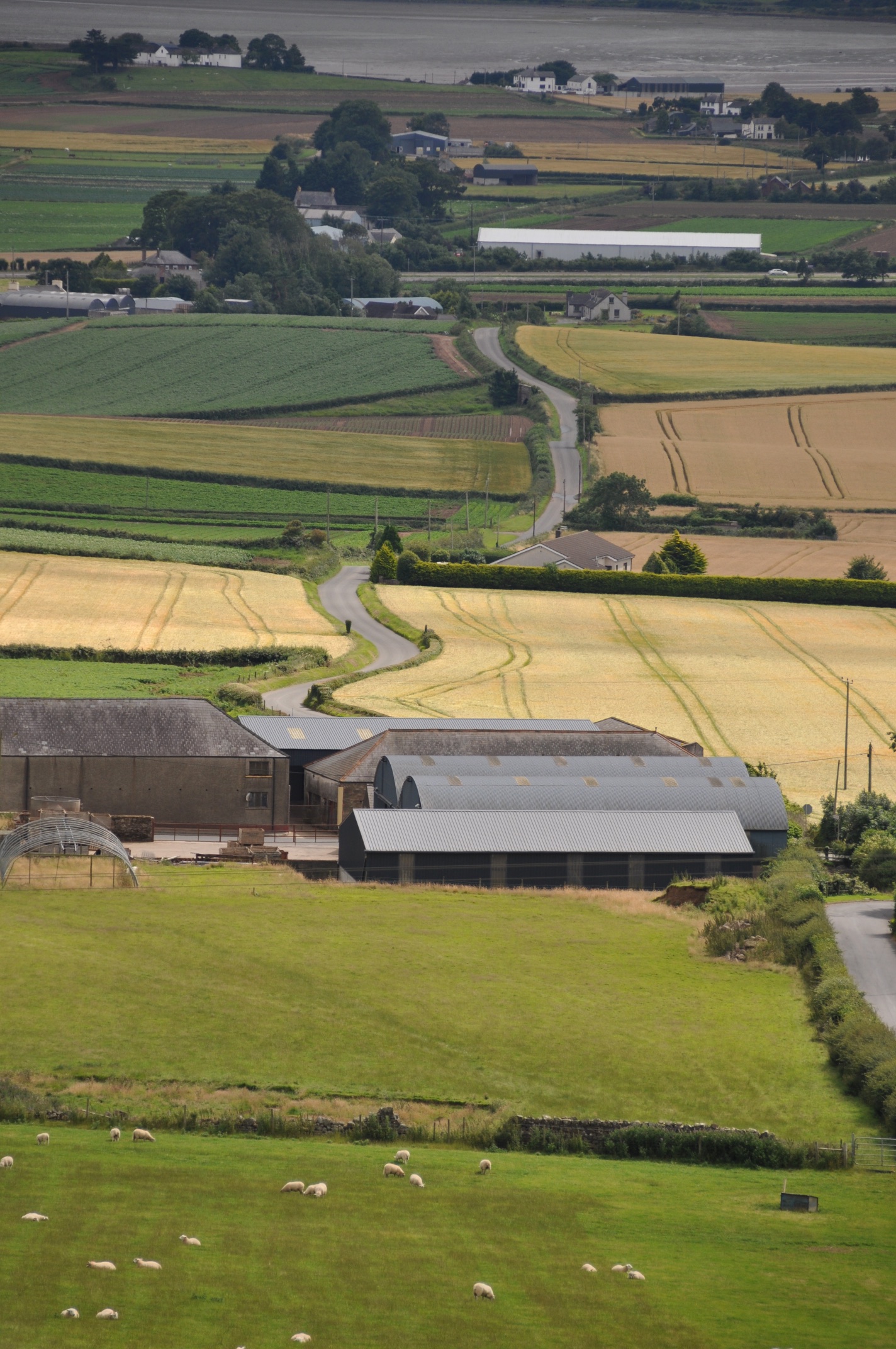
 From Scrabo I took this shot of Moate Road winding its way through Castleaverry. The muddy water at the top of the photo is Strangford Lough (looks a million times better when the tide is in). The top third of the photo (behind the long white building) shows the townlands of Ballyrickard and Longlands; the rest is Castleaverry.
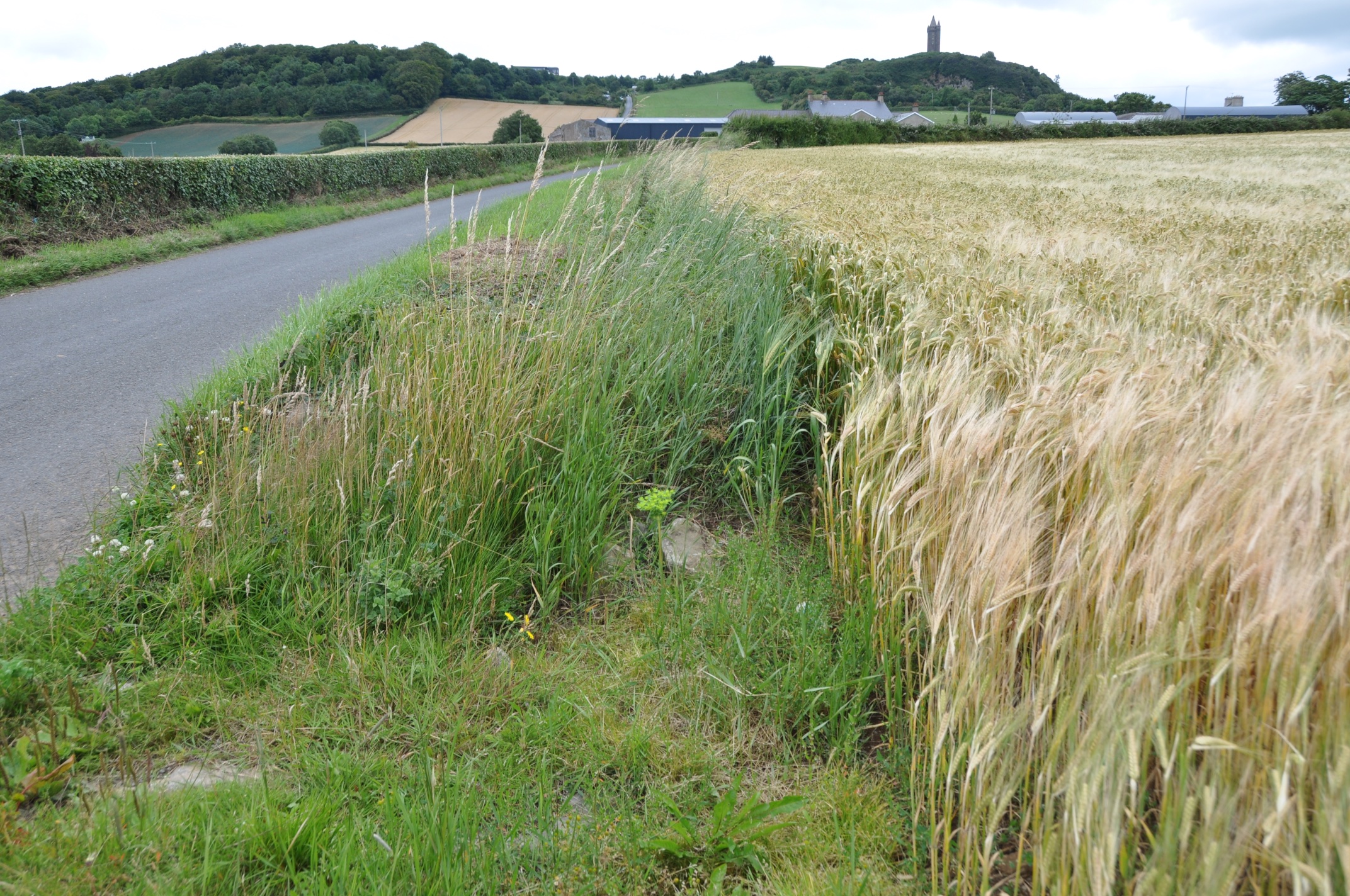
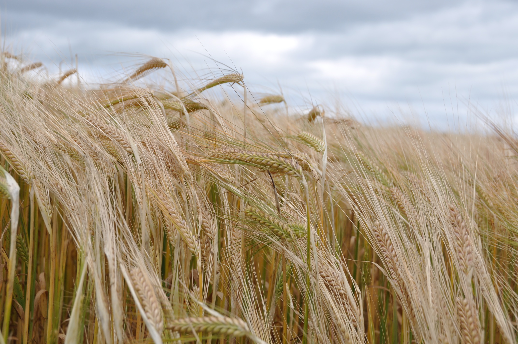
 And here is a closer look at the crops ripening in Castleaverry in August 2015. The wind from the lough is bending all the ears of barley (or are they wheat? I don’t know!).
 According to the PLACENAMESNI website, the name Castleaverry comes from the Irish Caisleán Éibhire meaning “Éibhir’s castle or stone ring-fort.” It would make perfect sense to build a fort here, with panoramic views across County Down. Unfortunately, PLACENAMESNI also state that no traces of a castle or fort remain. So the closest I can offer you is this stone gatepost.
 MORE INFORMATION

Which townlands border Castleaverry? At the top of the hill, Scrabo and Killynether;. Towards Comber, Ballyrickard. Towards Newtownards, Corporation South.
Which civil parish is Castleaverry in? Comber
Which council area is Castleaverry in? Ards and North Down Borough Council
Which county is Castleaverry in? County Down
And finally, click here to see a map of Castleaverry and to read about the townland’s name on my usual source – PLACENAMESNI.ORG.

[…] a collection of photographs to celebrate the townland. This month I have added posts about: CASTLEAVERRY MURLOUGH UPPER AND MURLOUGH LOWER PORTAVOGIE QUEEN’S […]
LikeLike
[…] all downhill from here. To the west, Ballycullen, Ballyalton and Killynether. To the south, Castleaverry. To the east, the town of Newtownards and the townland of Corporation […]
LikeLike
The place where you took the photograph Moate Road is right beside a “Moat” which presumably was part of a Moat and Bailey. Could this be the origin of the stone fort? Rumour has it that it’s inhabited by fairies! Currently owned by Rosemary and Noel Ferguson, my cousins,
LikeLiked by 1 person
Your cousins live in a lovely place – with or without fairies!
LikeLike
[…] townlands border Ballyrickard? Ballyhenry Major, Ballyhenry Minor, Castleaverry, Cherryvalley, Glass Moss, Killynether, Longlands, Ringcreevy and Corporation […]
LikeLike
Hi,
Strabo Tower itself is situated within a ‘ring fort‘. You can see the layout as you approach the top of the hill from the pathway which covers the filled-in ditch.
I think it is an Iron Age structure and is shown in various Ordnance Survey maps (eg 1957 – 1986) but there are other, much older, features in close vicinity to the ‘fort’ indicating the site was used since the Bronze Age.
Hope this helps.
LikeLiked by 1 person
Sorry – last message should have read ‘Scrabo Tower’.
Apologies.
LikeLike