
There are 29 townlands in the parish of Donaghadee. To date, this blog has covered nine of them (Drumfad, Ballycopeland, Ballyfrenis, Ballymacruise, Ballyvester, Craigboy, Miller Hill, Templepatrick, and Town Parks of Donaghadee).
How to make a dent in the list of 20 more? One by one is going to take too long, so I’ve got three townlands for you today. They are all on the Ards Peninsula in County Down, south of Millisle, and they all face the Irish Sea coast.
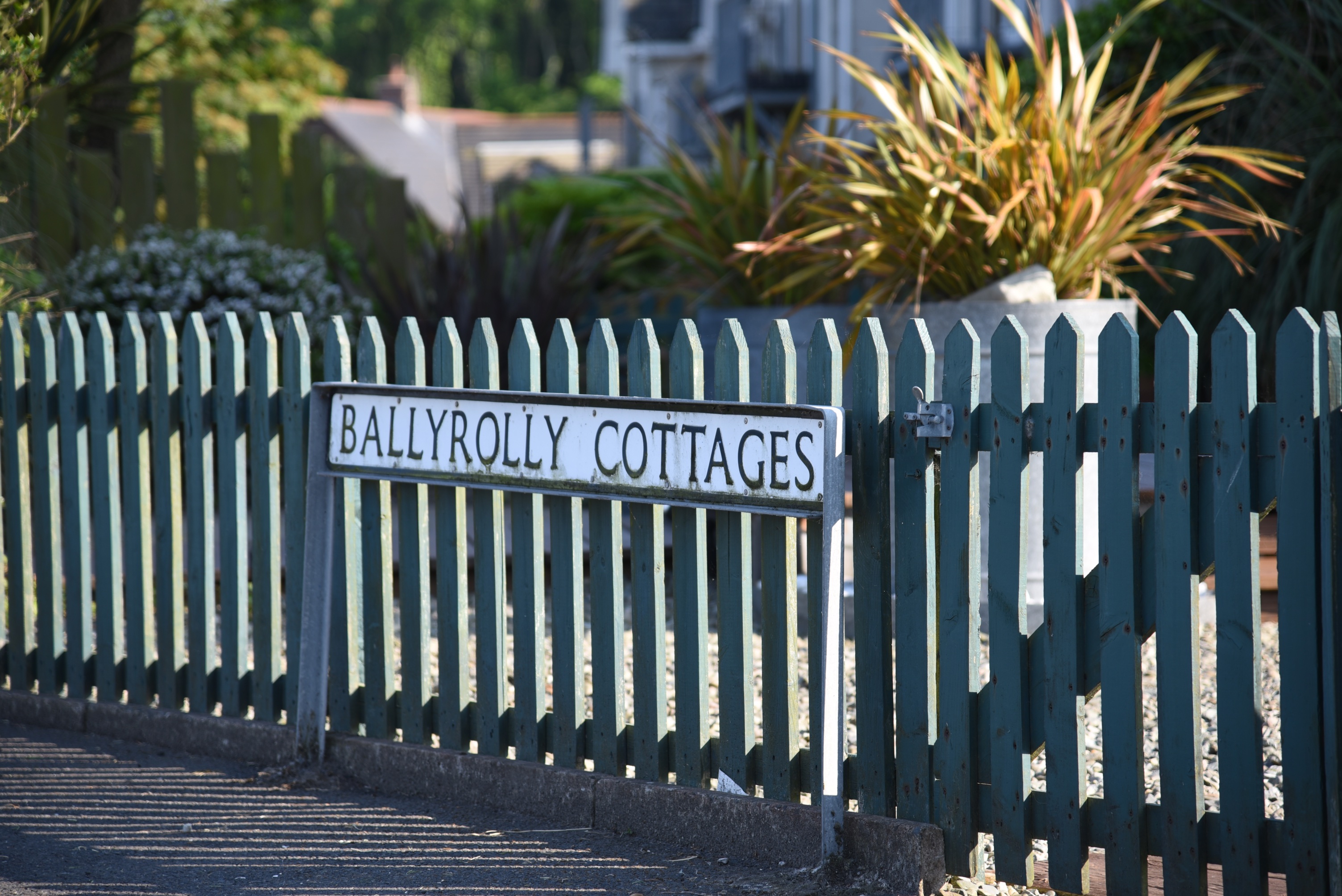
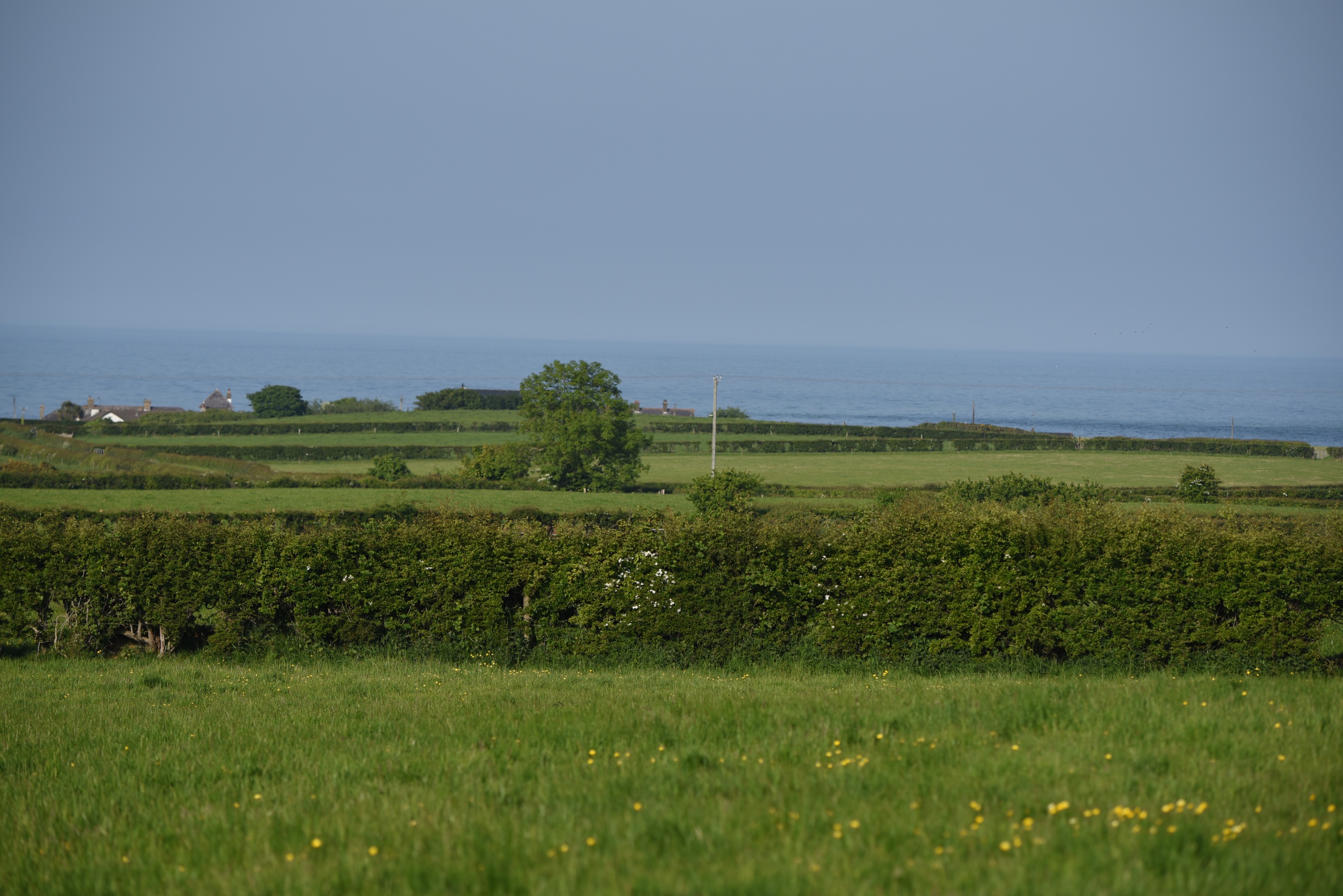 I started in Ballyrolly.
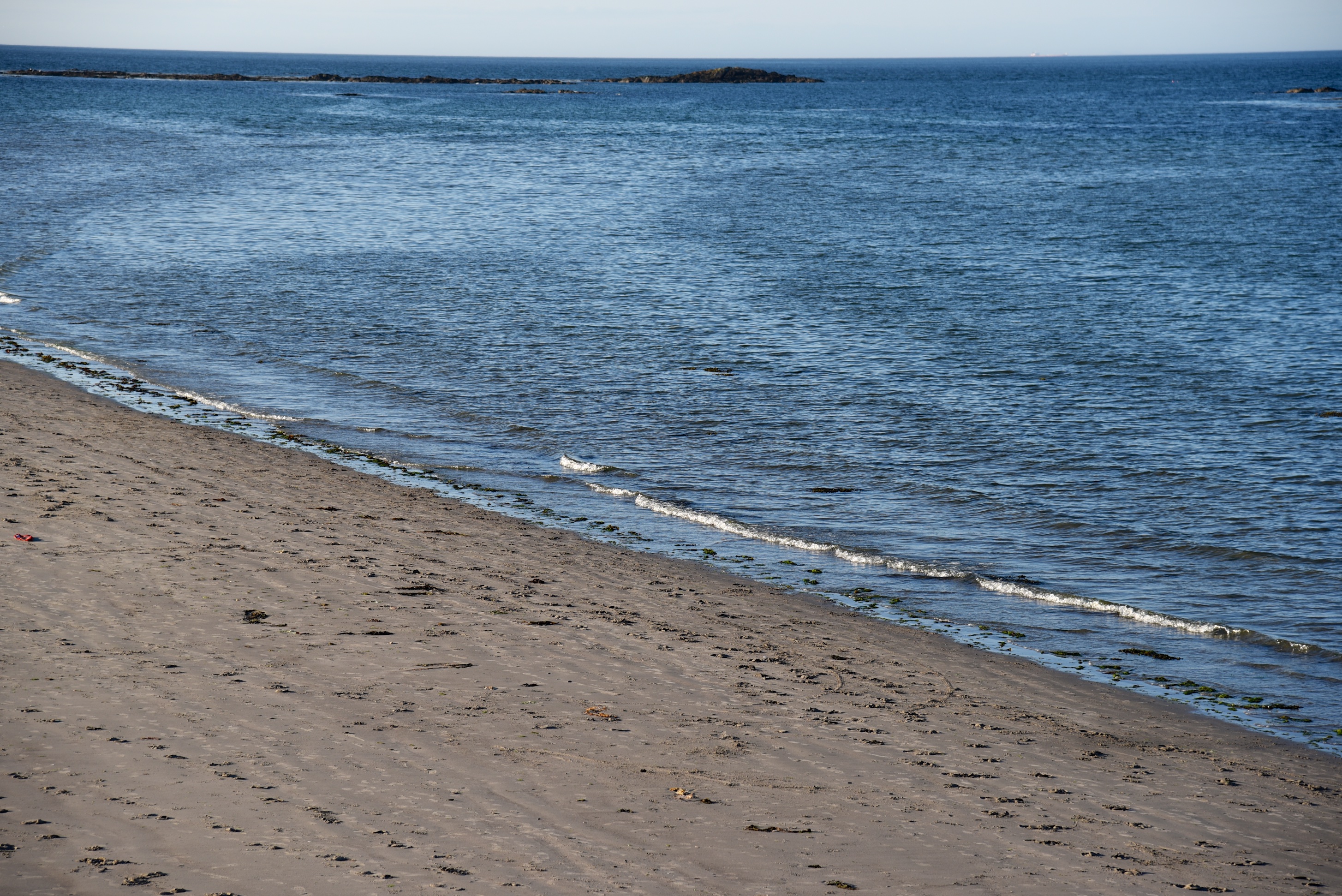
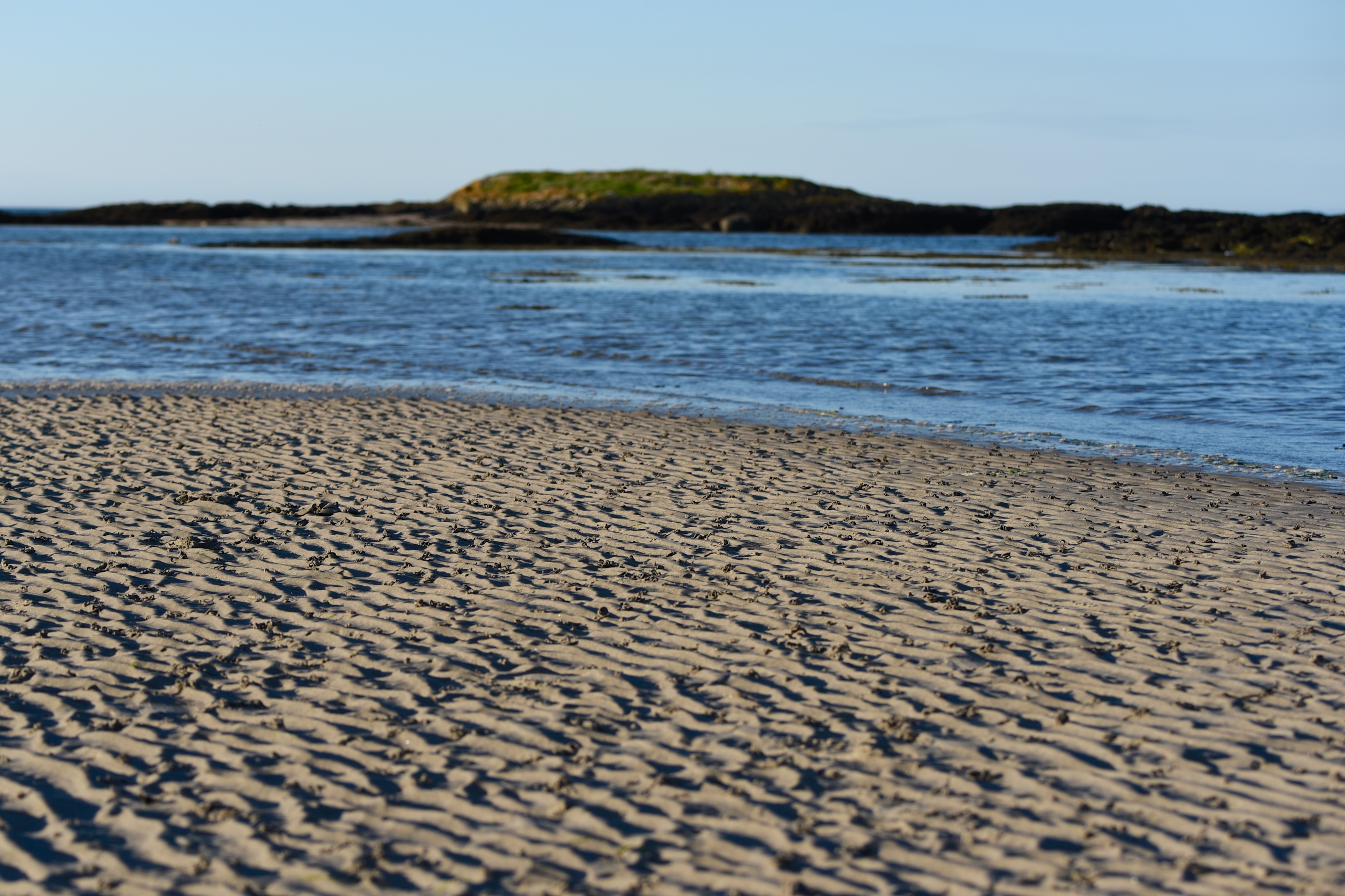
On the A2 coast road, straddling the boundary between Ballymacruise and Ballyrolly, is a carpark with access to the beach.
 During the Second World War the Jewish community in Northern Ireland helped young refugees escaping from Germany and Austria in the Kindertransport by leasing a 70 acre farm known as Ballyrolly House. From the first arrivals in 1938 to its closure in 1948, more than 300 adults and children passed through Ballyrolly Farm. They tilled the land and erected dormitories and other buildings, creating a small community. Many of the children attended Millisle Primary School. My source is the Millisle Walking Guide – click here for more details.
 According to the PLACENAMESNI website, the earliest recorded spelling of the townland name is “Ralfetona”, a Norman word meaning “Ralfe’s town”. The name was then gaelicized as Baile Rolai, coming back into English as Ballyrolly.
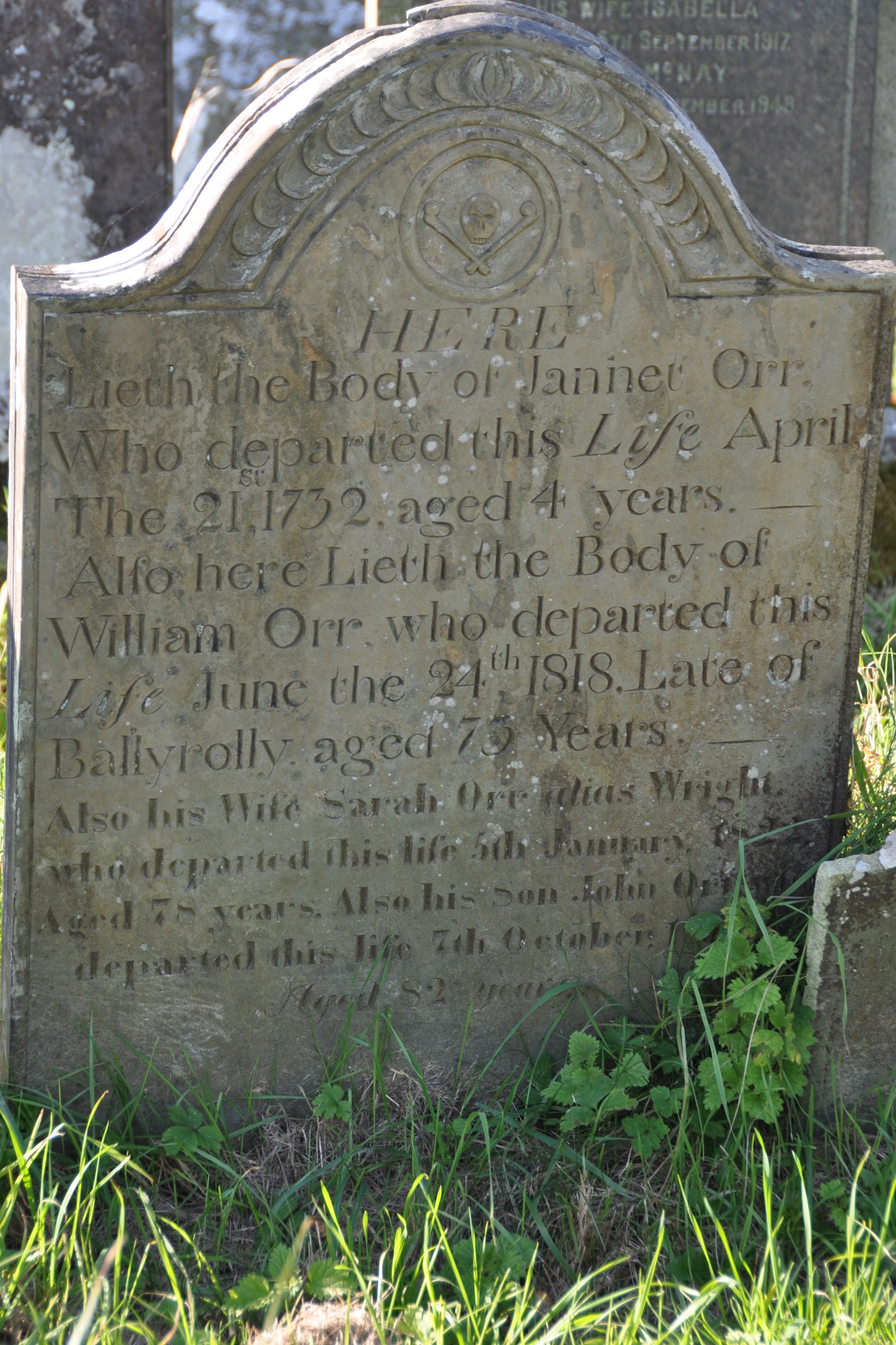
 I found an old gravestone for the Orr family of Ballyrolly in the Templepatrick graveyard at Miller Hill.
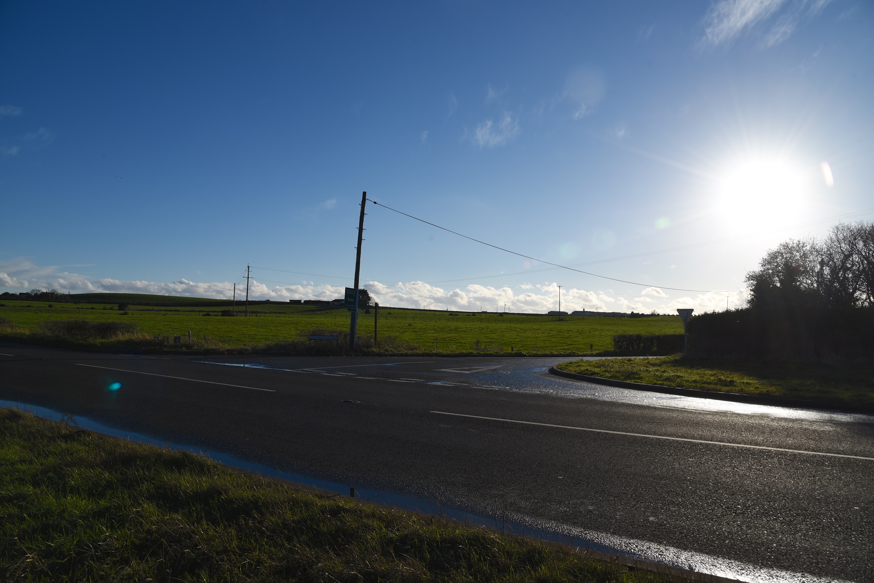
 Driving south from Ballyrolly, right through the townland of Drumfad, I reached Ballyhaskin at this junction.
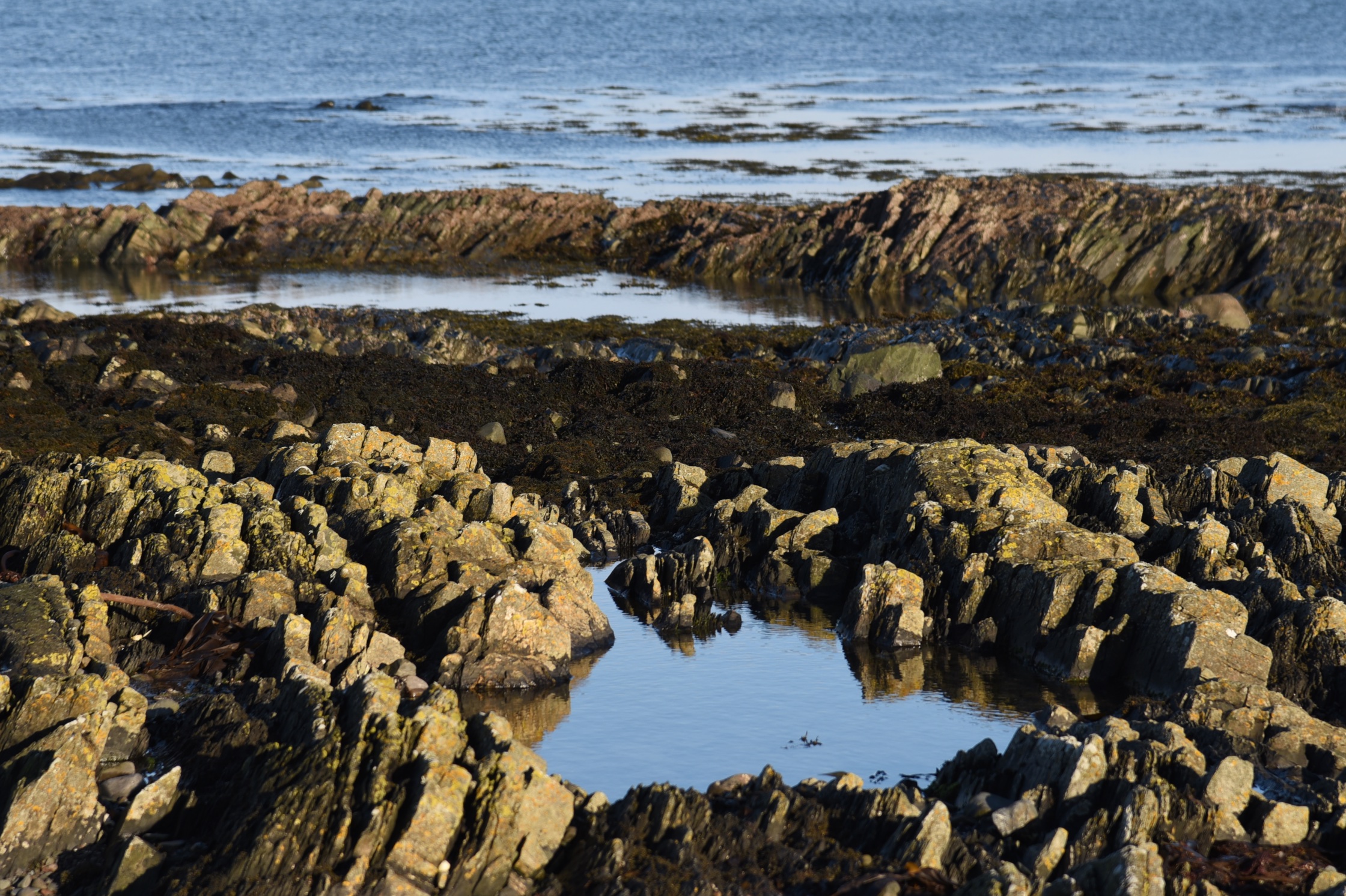
 To the north is one beach; to the south is another, and the headland has rockpools.
 Ballyhaskin stretches inland towards the village of Carrowdore, crossing the Ballyhaskin Road and the Kilbright Road. According to PLACENAMESNI, it is likely that “haskin” comes from a gaelicized version of the English surname “Askin”.
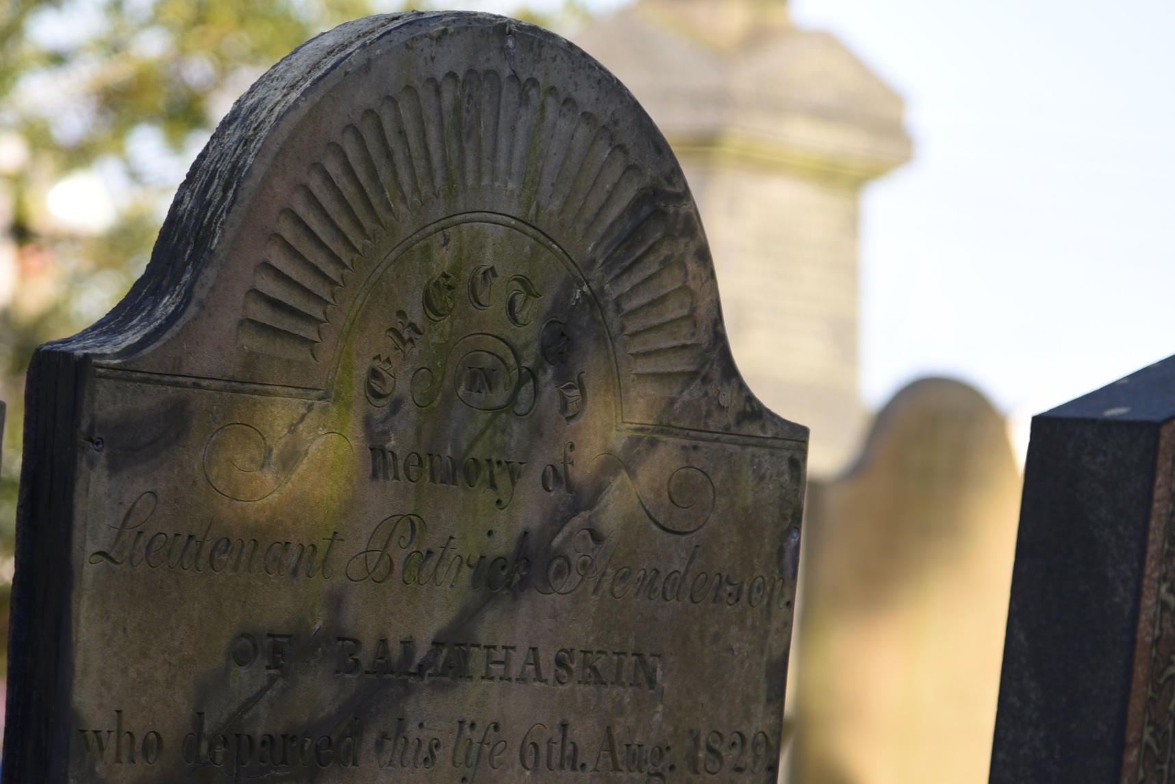
I found this gravestone for the Henderson family of Ballyhaskin in Bangor churchyard.
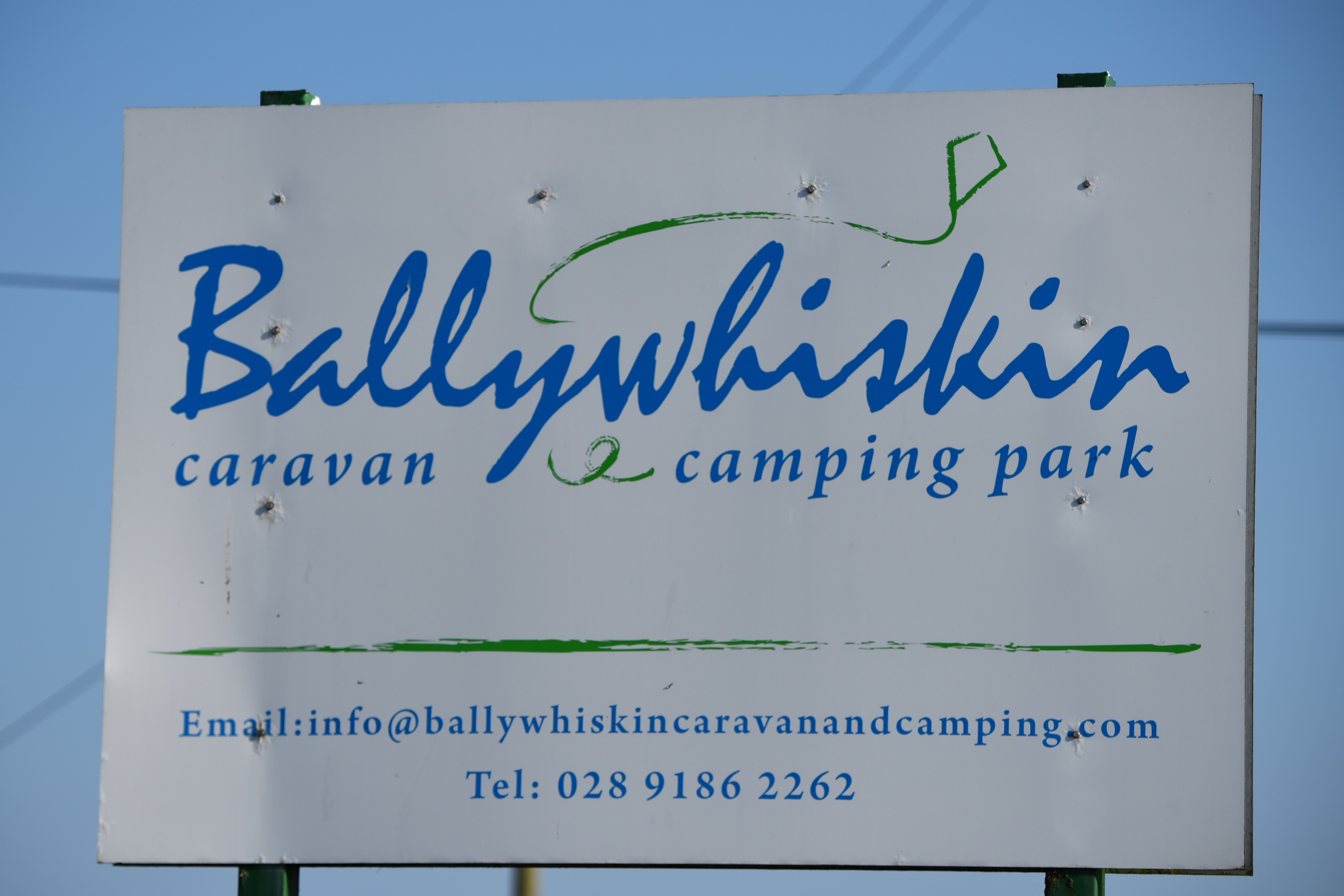
 Continuing along the coast, the next townland is Ballywhiskin.
 The PLACENAMESNI website describes the origin of “whiskin” as “elusive”. It could be a surname, but there is no evidence of local people called Ó hUiscín, Heskin or Hoskin.
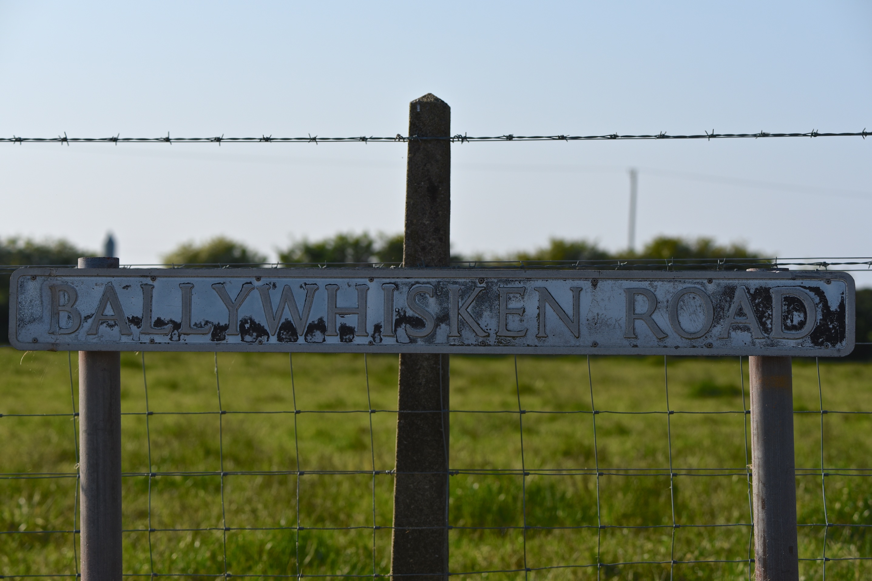 The spelling is elusive too. Officially it is now “whiskin”, but older road signs and gravestones use “whisken”.
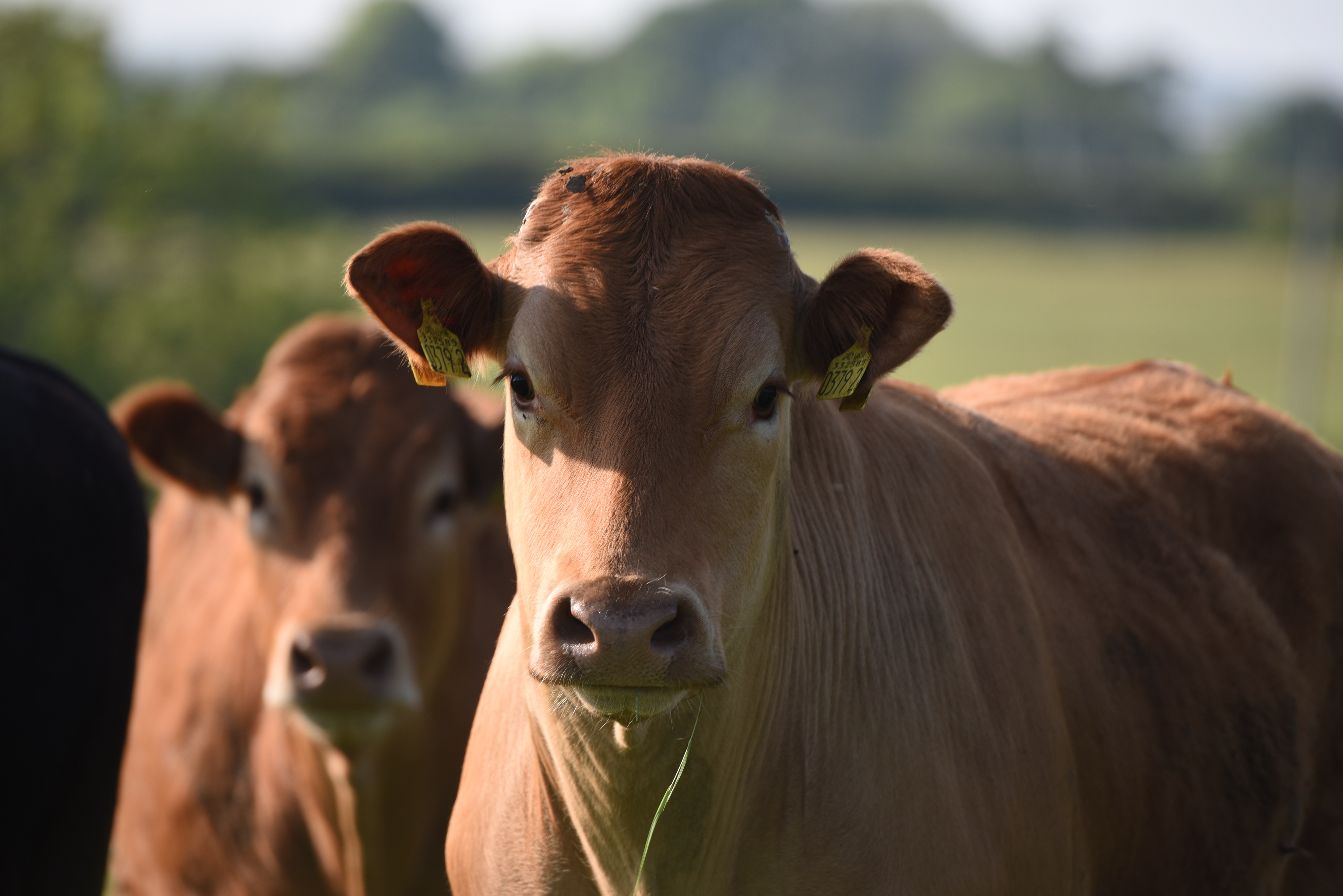
 Equally elusive are these cows. They were definitely standing in Ballyhaskin … or maybe Ballywhiskin. Anyway, they’ve probably moved by now.
more information
Which civil parish are these three townlands in? Donaghadee
ballyrolly
County Down has two townlands called Ballyrolly. This one is close to Millisle; the other one is located between Downpatrick and Clough.
Which townlands border Ballyrolly? To the north, Ballymacruise. To the east, the Irish Sea. To the south, Drumfad. To the west, Ballyfrenis.
Click here for a map of Ballyrolly on Townlands.IE.
Click here to read about the townland’s name on PLACENAMESNI.ORG.
ballyhaskin
Which townlands border Ballyhaskin? To the north, Ballyrolly. To the east, the Irish Sea. To the south, Ballyhaskin. To the west, Ballyrawer and Ballyfrenis.
Click here for a map of Ballyhaskin on Townlands.IE.
Click here to read about the townland’s name on PLACENAMESNI.ORG
ballywhiskin
Which townlands border Ballywhiskin? To the north, Ballyhaskin. To the east, the Irish Sea. To the south, Ganaway. To the west, Kilbright.
Click here for a map of Ballywhiskin on TOWNLANDS.IE.
And finally, click here to read about the townland’s name on my usual source – PLACENAMESNI.ORG.

[…] Here is an INDEX of all the townlands covered so far. Click on the name to go straight to my page about that townland. Or skip straight to this month’s new posts: Ballyrolly, Ballyhaskin, and Ballywhiskin […]
LikeLike
[…] townlands border Ballyfrenis? To the north, Ballybuttle and Ballymacruise. To the east, Ballyrolly and Drumfad. To the south, Ballyrawer and Grangee. To the west, […]
LikeLike