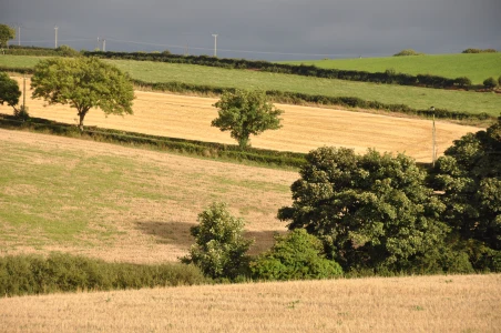
Today’s townland is Ballymaconnell, on the southeast edge of Bangor.
 The street sign for Ballymaconnell Road is actually in the townland of Ballyholme, but if you travel inland you do eventually reach the townland of Ballymaconnell and the street called Ballymaconnell Road South. As usual with Bangor, you must navigate the ring road, this time at the Donaghadee Road roundabout.
But things do get more peaceful. The next image of houses and fields shows how Ballymaconnell is located on the edge of town.
 This stream forms part of the boundary between Ballymaconnell and Ballycroghan.
 Bangor churchyard contains this gravestone for the Cooker/Davidson family from Ballymaconnell.
 This one for the Clugston family is even older, marking a death in 1720.
more information
Which county is Ballymaconnell in? County Down
Which civil parish is Ballymaconnell in? Bangor
Which townlands border Ballymaconnell? To the north, Ballymacormick and Groomsport. To the west, Ballyholme and Ballymagee. To the south, Ballycroghan. To the east, Ballyminetragh and Cotton.
Click here to see a map of Ballymaconnell on Townlands.IE.
And finally, click here to read about the townland name on PLACENAMESNI.ORG.


[…] go straight to my page about that townland. Or skip straight to this month’s new posts: Ballymaconnell, Ballycroghan, Ballyree and Rathgill, […]
LikeLike
[…] townlands border Ballycroghan? Ballygrainey, Ballymaconnell, Ballyree, Ballymagee, Ballyminetragh and […]
LikeLike
[…] To the south, Towerview Crescent is the beginning of the townland of Ballymaconnell. […]
LikeLike
I lived in Ballymaconnell Road about 55 years ago. A nice wee walk down to the beach, or the other way to a farm where we we allowed to shortcut to my grandmother’s house on Donaghadee Road. Everything seemed very near, and quiet.
LikeLiked by 1 person
I wonder if the farm is still there – probably a housing estate now. But the beach is still popular. I took the photo of the road sign one day when I was on my way to the beach.
LikeLike
[…] town of Bangor, Corporation. To the east, on the coast, Ballymacormick. Inland, to the east, Ballymaconnell. Inland, to the south, […]
LikeLike
[…] townlands border Ballymagee? Ballyholme, Corporation, Balloo, Ballymaconnell, Ballyree, […]
LikeLike