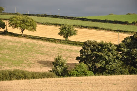
The Quoile River flows through County Down to Strangford Lough. The river has given its name to a townland about a mile north of Downpatrick.
 According to the PLACENAMESNI website, the original Irish name for the river was An Caol, translated into English as early as 1549 as “Narrowe Water”, and now anglicized as Quoile.
 The river forms the northern boundary of the townland. The western boundary is the Rathkeltar Road. Cars can cross the townland on the A25 Strangford Road and the Mearne Road, but I took the quieter option of parking at the Quoile Brae and walking along the riverside path.
 The River Quoile has been used as a filming location for the HBO TV show Game of Thrones. This wooden jetty was constructed for the funeral of the character Hoster Tully, Lord of Riverrun. Stripped of its banners and carved fish, the jetty was then left in place to become part of the Quoile Pondage Nature Reserve.
 The word “pondage” refers to water held back behind a barrier. In this case a tidal barrier was created in 1957 to protect Downpatrick from flooding. The change from salt water to fresh water in this part of the river, and the protected status of a nature reserve, brought new plants, then insects, then birds. On my walk I spotted a pair of bullfinches; only the male stopped long enough to be photographed.
 In the past, before the flood defences were in place, the Quoile river was used for shipping. Quoile Quay (in Demesne of Down townland) and Steamboat Quay (in Quoile townland) were busy ports. You can still see mooring bollards used from the 1830s to 1920 at Steamboat Quay.
 I walked to the Quoile Countryside Centre to find out more about the steamships, the nature reserve and the ruined tower house known as Quoile Castle.
 But the centre was closed, and the castle was guarded by an unsympathetic duck.
 Still, there is plenty of information online, including an excellent description of the riverside walk on WALKNI.com.
Click here to read the guide to the Quoile River walk.
more information
Which county is Quoile in? Down.
Which parish is Quoile in? Saul.
Which townlands border Quoile? To the north, Finnabrogue and Lisbane. To the east, Saul, Ballintogher, and Ballysugagh. To the west, Ballyrenan and Demesne of Down.
Click here to see a map of Quoile on TOWNLANDS.IE.
And finally, click here to read more about the townland name on PLACENAMESNI.ORG

The name an Caol which means the narrow actually refers a narrowing on Strangford Lough. The Quoile river was effectively created in 1745 when the lough was drained around Downpatrick creating 500 acres of land. The flooding which occurs in Downpatrick is actually only the high tide mark but after 250 years the people of the town have forgotten their coastal position!
Here’s a link to a map https://www.facebook.com/LecalePeninsula/photos/pb.149143738561831.-2207520000.1464561493./310071265802410/?type=3&theater
LikeLiked by 1 person
Thanks Duane, that’s interesting. The map gives a good perspective from above.
LikeLike
[…] Mullagh Murlough (Upper and Lower) Portavogie Quarterland Queen’s Island Quoile Raffrey Rathcunningham Ringcreevy Ringdufferin Ringhaddy Ringneill Scrabo […]
LikeLike
[…] Inch to the west, Jordan’s Acre to the east, Quarter Cormick to the south, Quoile to the east, Ringreagh to the west, Russell’s Quarter to the east, and Saul to the […]
LikeLike