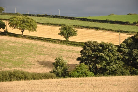
Today’s townland is Braniel, on the eastern edge of Belfast. Most of the townland is rural ground high above the city.
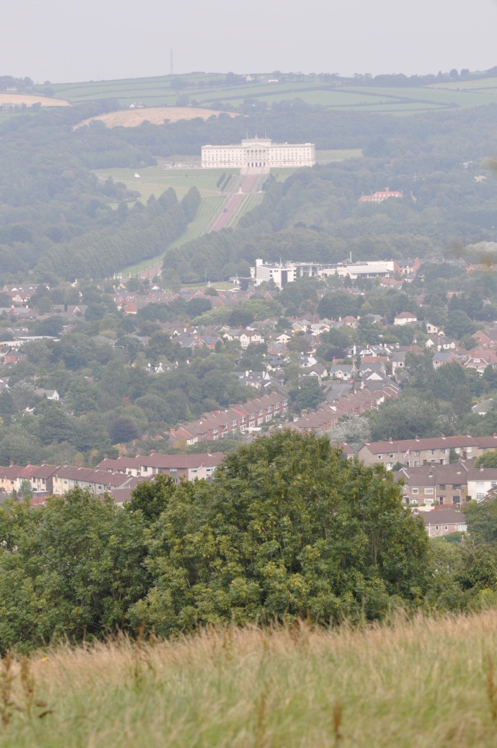
 This was my view from Braniel looking towards Parliament Buildings at Stormont (Ballymiscaw townland).
 The northern part of the townland, lower down the hill, is residential, with houses forming part of the Braniel estate.
 Recently, the people of Braniel have made good use of one of their few pieces of flat land.
 There’s not much variety in the road names here. Not content with an “Upper” and a “Lower” Braniel Road, this townland also claims a “Middle” road.
According to the PLACENAMESNI website, the meaning of Braniel is uncertain. It may come from the Irish Broinngheal meaning “bright fronted place”. So this sculpture of the sun is pretty appropriate.
 The sculpture includes representations of local landmarks like Stormont and the Harland & Wolff cranes (Ballymacarrett Intake townland).
MORE INFORMATION
Which townlands border Braniel? Knock, Tullycarnet, Gilnahirk, Crossnacreevy, Slatady, Castlereagh and Carnamuck.
Which civil parish is Braniel in? Knockbreda
Which council area is Braniel in? Part of the townland is in Belfast City Council’s area; part is in Lisburn and Castlereagh City Council.
Which county is Braniel in? County Down
And finally, click here to see a map of Braniel and to read about the townland’s name on my usual source – PLACENAMESNI.ORG


[…] a collection of photographs to celebrate the townland. This month I have added posts about: BRANIEL**NEW** BALLYHANWOOD, […]
LikeLike
The sun sculpture is very good. I always smile at Knock. You could substitute it for Chicago and you’d have Knock Knock, so good they named it twice!
LikeLike
[…] townlands border Castlereagh? To the north, Carnamuck. To the east, Braniel and Slatady. To the south, Lisnabreeny. To the west, Cregagh and […]
LikeLike
[…] townlands border Tullycarnet? To the west, Ballycloghan, Braniel and Knock. To the south, Gilnahirk and Gortgrib. To the east, Ballyhanwood and […]
LikeLike
[…] townlands border Slatady? To the northwest, Castlereagh. To the northeast, Braniel. To the south, Crossnacreevy and […]
LikeLike
[…] lies in the middle of a ring of townlands that have already appeared in this blog: Ballykeel, Braniel, Gilnahirk, Lisleen, Lisnabreeny and Slatady. I don’t know how or why I’ve avoided […]
LikeLike